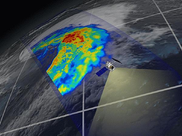
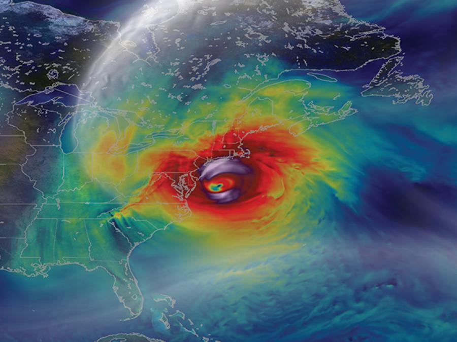
image of hurricane data over eastern US
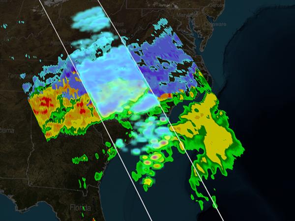
image of snow precipitation data
image of GPM satellite in orbit

GPM GV

Global Precipitation Measurement Mission Ground Validation

NASA's Global Precipitation Measurement Mission Ground Validation (GPM GV) program, as a member of the broader NASA Precipitation Measurement Mission, provides ground and airborne precipitation datasets to support physical validation of satellite-based precipitation retrieval algorithms.

The requisite ground validation (GV) measurements include multi-frequency dual-polarimetric radar (S, C, X, Ka/Ku and W bands), airborne microphysical probes, radar and radiometer observations (e.g., provision of a GPM core satellite "proxy"), and ground-based disdrometer and raingauge network observations as a core instrument and measurement complement.

The GPM GV instrument suite was deployed in numerous field campaigns in several different precipitation regimes. These include Autonomous Parsivel Unit (APU), Joss-Waldvogel (JW) disdrometer, GPM Ground Validation Canadian CloudSat/CALIPSO Validation Project (C3VP), Tropical Warm Pool-International Cloud Experiment (TWP-ICE), and Two-Dimensional Video Disdrometer (2DVD).

These campaigns and regimes also include the NOAA Hydrometeorological Testbed-Southeast campaign (HMT-SE; North Carolina, Summer 2014) as well as international partner-lead field efforts such as the GPM-Brazil CHUVA campaign (2009–2013).

The associated GV measurements and observational strategies seek to advance our physical understanding of precipitation processes and assure consistency between this understanding and the representation of those physical processes in NASA GPM retrieval algorithms.
GPM GV provides ground and airborne precipitation datasets supporting physical validation of satellite-based precipitation retrieval algorithms. 

NASA's Global Hydrometeorology Resource Center DAAC (GHRC DAAC) works with the GPM GV Science Manager to support the following GPM GV physical process studies, which rely on targeted field observations lasting roughly six weeks for intensive observation periods.

  • ICE_POP
  • OLYMPEX
  • IPHEX
  • IFloodS
  • HyMeX
  • GCPEx
  • MC3E
  • LPVEx
  • C3VP

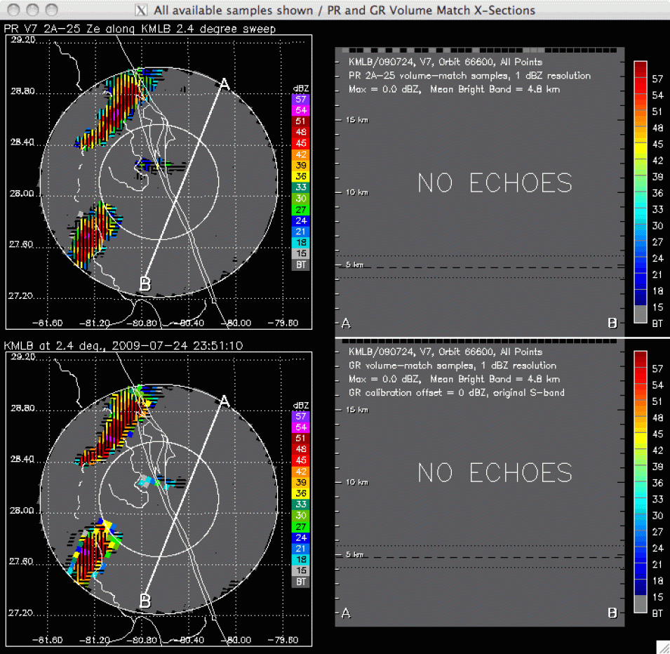
The GPM GV program supports a Validation Network (VN) that matches Tropical Rainfall Measuring Mission (TRMM) Microwave Imager (TMI) rain rate and Precipitation Radar (PR) reflectivity and rain rate to ground‑based meteorological radars.

test for gif file
Image Caption

The animation above illustrates some of the products and features of the VN dataset. Top left is a planimetric view of a set of storms imaged by the TRMM Precipitation Radar. Bottom left is the same storm imaged by the Melbourne, Florida (KMLB) WSR-88D radar. Both views show data along the 2.4-degree-elevation sweep surface of the KMLB radar. The two panels on the right illustrate vertical slices through all sweep surfaces of the corresponding datasets along the A-B line shown in the plan-view images, with the radar volumes of the two data types geometrically matched to one another. The horizontal and vertical size, and the location of the matched radar volumes, are determined by the intersections of the stepped conical sweeps of the ground radar with the quasi-vertical radar beams of the TRMM PR as they are viewed along the A-B lines.