
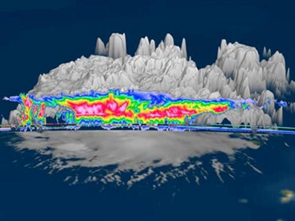
LPVEx consisted of coordinated aircraft flights within an extensive network of ground-based observations that included three dual-polarization, C-band, Doppler radars, a network of surface weather and sounding stations, several micro-rain radars, and surface rainfall and drop size distribution (DSD) measurements from a large number of rain gauges and disdrometers. The core analysis strategy for the experiment was based on an “algorithm-simulator” approach where well-calibrated, multi-frequency, polarimetric radar observations were used to extend in situ measurements of the vertical/spatial distributions of temperature, humidity, aerosol concentrations, cloud water concentration, rain drop size spectra, particle phase, and surface rainfall intensity to full three-dimensional volume depictions of rainfall scenes.
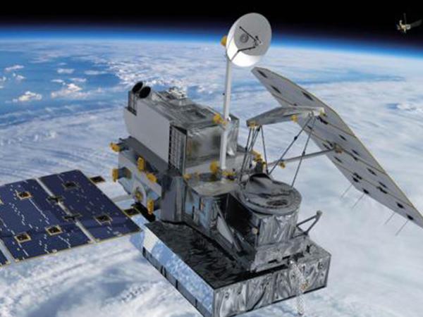
LPVEx was a collaborative effort between CloudSat, the GPM Ground Validation (GPM GV) program, the Finnish Meteorological Institute (FMI), Environment Canada (EC), the United Kingdom National Environmental Research Council, Vaisala Inc., and the University of Helsinki (UH).
Read the LPVEx science plan.