image of GPM satellite snow precipitation data

GCPEx

GPM Cold Season Precipitation Experiment

The Global Precipitation Measurement (GPM) Cold-season Precipitation Experiment (GCPEx) addressed shortcomings in GPM snowfall retrieval algorithm by collecting microphysical properties, associated remote sensing observations, and coordinated model simulations of precipitating snow. These datasets were collected toward achieving the overarching goal of GCPEx, which is to characterize the ability of multi-frequency active and passive microwave sensors to detect and estimate falling snow.

The primary objectives of GCPEx included:

  • Conduct a complete study of snowfall physics from the ground through the atmospheric column under coverage of a high-altitude airborne GPM satellite simulator. This was achieved via use of dual-frequency radar (APR-2; Ka, Ku bands) and “frequency-targeted” radiometer (CoSMIR; 50-183 GHz) integrated on the NASA DC-8 aircraft.
  • Provide coordinated in situ airborne and ground-based microphysical platforms to observe single snow crystal and bulk snowfall properties (habit, size distribution, density) that enable development of models converting microphysical properties of snow to observed GMI brightness temperature and DPR Ka-Ku band reflectivity.
  • Provide multi-frequency/polarimetric radar vertically pointing and volumetric datasets suited to relating particle scale characteristics to bulk snowfall measurements over spatial scales consistent with satellite fields of view.
  • Provide ground-staring multi-frequency radiometer measurements with coincident snowpack water content estimates toward evaluating the impacts of and potential corrections for ground emission on the snowfall retrieval algorithms.
  • Provide tropospheric measurements of thermodynamic quantities such as temperature and water vapor for algorithm and satellite simulator model needs.

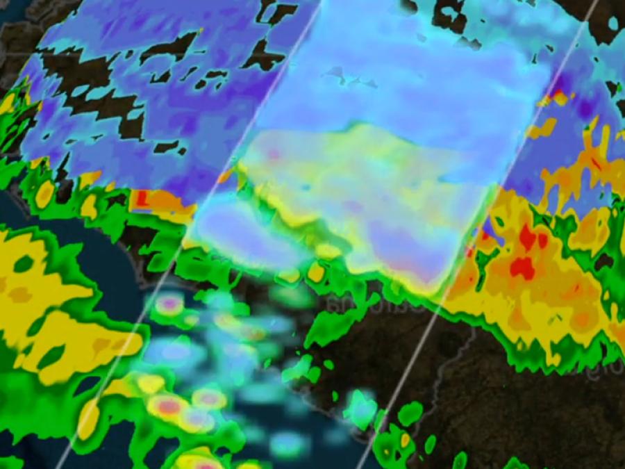
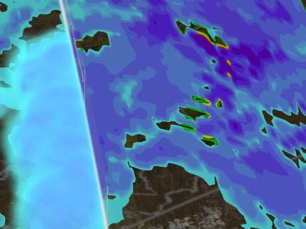
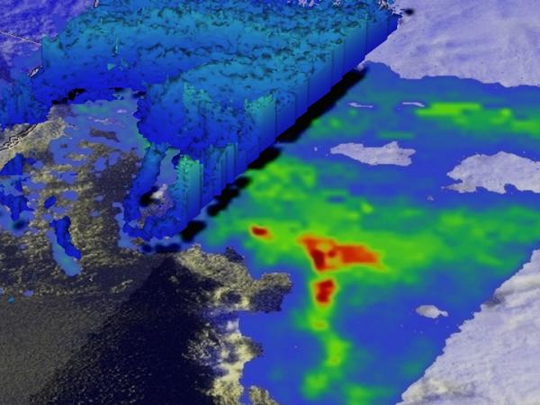
Collectively the GCPEx dataset provides a high quality, physically-consistent and coherent data set suited to the development and testing of GPM snowfall retrieval algorithm physics. GCPEx datasets further our basic understanding of snowfall physical processes across multiple scales. Most importantly, the results elucidate how those processes may be optimally observed using spaceborne remote sensing instrumentation that includes the GPM Dual-frequency Precipitation Radar (DPR), the GPM passive microwave (PMW) imager (GMI) and other existing/planned active or passive microwave (PMW) sensors flying on ancillary platforms (e.g., CloudSat, AMSR-E, AMSU-B/MHS, SSMI/S etc.).

GCPEx objectives addressed the process of falling snow events and augmented the currently limited database of snow microphysical and radiative properties that form the critical assumptions at the root of satellite retrieval algorithms. GCPEx objectives addressed significant areas of weaknesses or knowledge gaps in GPM snowfall detection and estimation algorithms to include:

  • Lack of realistic representation of snow particles, their bulk density, size and shape distributions, and their associated radiative properties in algorithm forward models;
  • Limited physically-based means to assess the behavior and mitigation of surface emission impacts and emission dynamics on satellite PMW measurements over multiple temporal scales and surface types;
  • A lack of representative databases for active+passive observations linked to a measurement reference;
  • The low sensitivity to light/moderate falling snow events by passive sensors and sensitivity to tropospheric water vapor profiles;
  • The ambiguity in Ze-S and TB-IWP relationships;
  • Near surface clutter contamination for radar observations;
  • Detection and influence of cloud water imbedded in snow profiles.
Study DatesJanuary 15, 2011 - February 26, 2012
RegionOntario, Canada
Phenomena StudiedPrecipitating snow

Ground Instruments

Instrument NameProduct DescriptionProviderPrincipal Investigator
C-band Dual Pol. Radar (scanning)4-D PrecipitationEC King City RadarD. Hudak/Paul Joe
W-band vertically pointingCloud/hydrometeor profilesMcGill U.P. Kollias
X-band vertically pointingHydrometeor profilesMcGill U.P. Kollias
Ground-Staring Radiometer1.4, 19, 37-89 GHz snow pack water equivalentEC ClimateC. Derksen
Dual Polarization Radiometer89 and 150 GHz (scanning ground and atmos)U. BonnP. Savedra
Two-dimensional Video DisdrometerDSD/Radar Cal.GPMW. Petersen
Parsivel DisdrometersDSD/precip.
Rate/variability
GPMW. Petersen
Snow LWE provesSWE/rate on/at groundGPM (Duke U.)PI Ana Barrow
ADMIRARI Radiometer/MRRCombined cloud and rainwater retrievalsU. Bonn/LeicesterPI A. Battaglia
MRRDSD profiling,precip rate, melting layerNASA/ECW. Petersen/P. Joe/A. Battaglia
OTT Pluvio2 Weighing GaugesPrecip rateGPMGPM (Petersen/Tokay)
Automatic sounding SystemT/P/RH profilesEC CARED. Hudak, CARE Site
Twice-daily SoundingsT/P/RH profiles at Tallinn, S. Petersburg, and JokioinenUniversity of Wyoming 
POSSDSD/precip rateECHudak
Profiling LidarBackscatter at 2 wavelengthsEC CAREHudak

Aircraft

Instrument NameProduct DescriptionProviderPrincipal Investigator
DC-8
APR-2Ka-Ku Ze + Dual-pol momentsGPMDurden/Tanelli
CoSMIR50-183 GHz TBGPMSkofronick-Jackson
UND Citation
King Hot wireCloud liquid waterUNDPoellot/Heymsfield
2DCParticle size distribution and type
(0.1 - 0.8 mm)
UNDPoellot/Heymsfield
CPICloud Particle ImagerUNDPoellot/Heymsfield
CIPCloud Imaging Probe
(0.15 - 1.5 mm)
UNDPoellot/Heymsfield
CDPDloud droplet spectra
(2 - 50 m)
UNDPoellot/Heymsfield
NevzorovLiquid and Total water contentUNDPoellot/Heymsfield
HVPS-3Particle sizing
(0.15 - 19.2 mm)
UNDPoellot/Heymsfield
Rosemount icing rate meterDetection of super cooled waterUNDPoellot/Heymsfield
Dew point (chilled mirror)Dewpoint T
(-60° to 40°C)
UNDPoellot/Heymsfield
Temperature-60° to 40°CUNDPoellot/Heymsfield
CN Counter10 nm cutUNDPoellot/Heymsfield
Winds UNDPoellot/Heymsfield
Water Vapor125-30000 ppmvUNDPoellot/Heymsfield
Pressure0-1034 mbUNDPoellot/Heymsfield

Satellite

Instrument NameProduct DescriptionPrincipal Investigator
CloudSatW-band reflectivity, Cloud geometric profile, LWC/IWC profile, precipitation type/rateL'Ecuyer
MODISIR TBs, visible TBs, cloud mask, LWP, IWP, effective radiusL'Ecuyer
AMSR-EPolarized TBs (6.9-89 GHz), SST, CWV, LWP, rain rateL'Ecuyer
AMSU-BTBs (89-183 GHz), rain/snow incidence, rain rateL'Ecuyer
Case summary table for the GPM Cold-season Precipitation Experiment (GCPEx), showing details about start/end dates, precipitation amount and type, and aircraft/instrument used to collect the data.

View daily summaries of snow events that occurred during GCPEx.