Content from all Earth science data sites are migrating into this site from now until end of 2026. Not all NASA Earth science data will appear across the site until then. Thank you for your patience as we make this transition.
Read about the Web Unification Project
TRMM Resources
Earthdata resources for users working with NASA’s Tropical Rainfall Measuring Mission (TRMM) data include tutorials and other learning resources, news announcements such as instrument updates and data releases, user guides and related documents, and frequently asked questions.
Table of contents
TRMM Learning Resources
During this webinar we will provide an overview of TRMM and GPM precipitation data products and discuss the various ways to discover and access these data. We will also demonstrate the visualization and analysis tools and services provided by NASA's Goddard Earth Science Data and Information Services Center (GES DISC).
Webinar
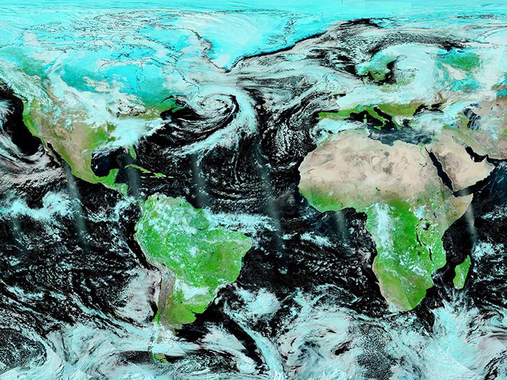
Join us to learn how to use NASA’s Worldview, an imagery mapping and visualization tool that provides access to over 900 data imagery layers, many of which are available within hours, even minutes, to explore Earth’s interconnected processes and events.
Webinar
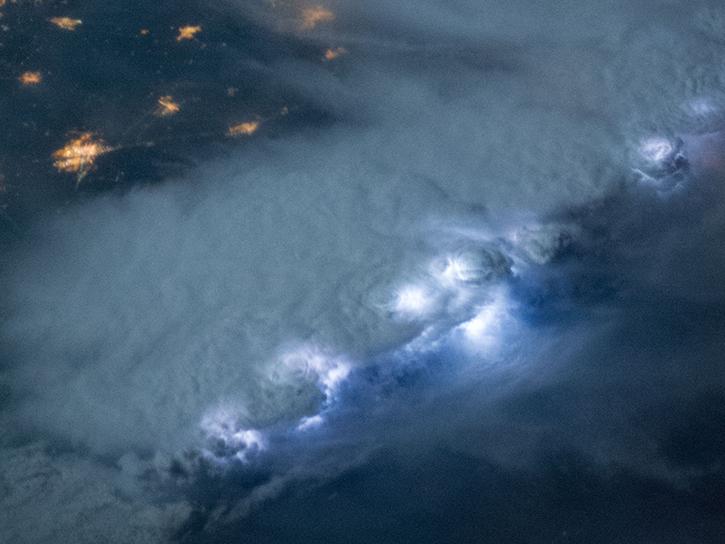
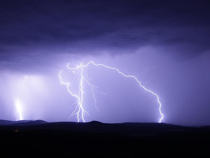
Satellite data shows that communities in western Nepal and northern Bangladesh are at an increased risk for lightning related injury.
Data in Action
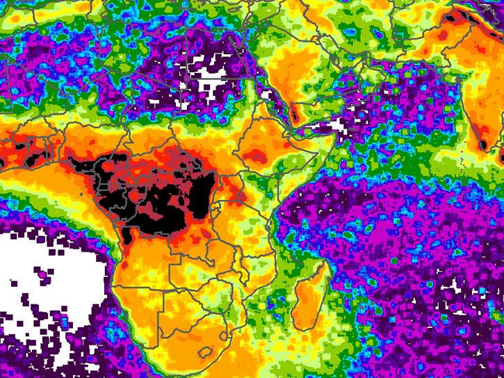
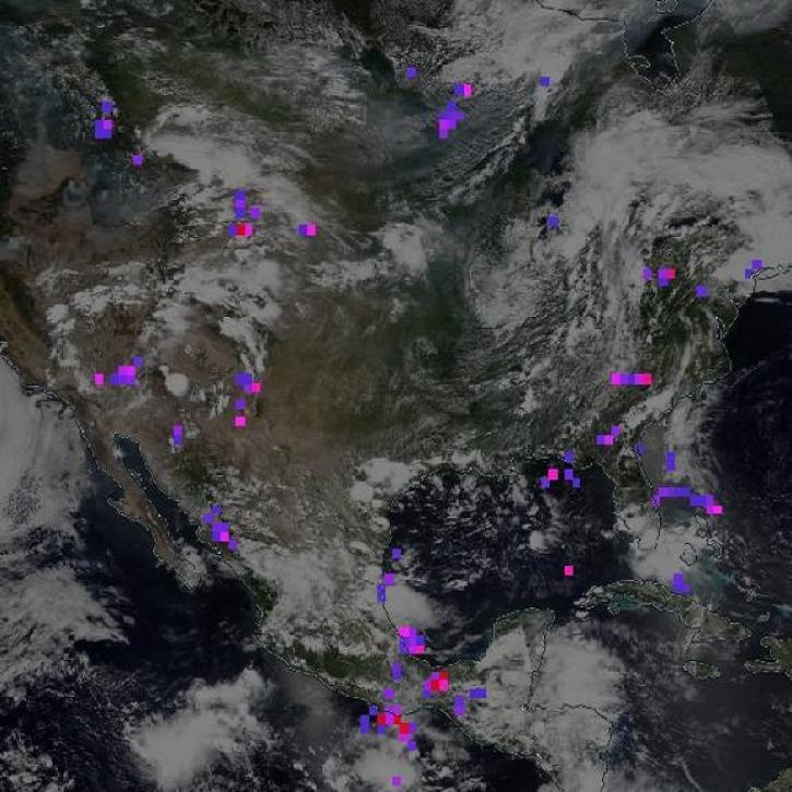
NASA's Lightning Imaging Sensor (LIS) surveyed lightning flashes of all shapes, sizes, and radiances across the tropics.
Data in Action
NASA's Global Hydrology Resource Center Distributed Active Archive Center (GHRC DAAC) has released 10 different gridded lightning climatology datasets.
Data in Action
NASA climatology datasets have revealed Lake Maracaibo, Venezuela, as the peak lightning hotspot on Earth.
Data in Action
This data recipe shows how to bring gridded netCDF data into ArcMap and create a GeoTIFF file enabling GIS analysis and map making.
Data Recipe
SHOWING 7 OF 7
TRMM News
View All News
Quick Filters
The Lightning Imaging Sensor measured the amount, rate, and radiant energy of lightning around the globe both day and night.
Feature Article
NASA’s GHRC DAAC helps scientists like Dr. Timothy Lang use lightning data to better understand the processes in convective storms.
Data User Story
Data from NASA’s ASF DAAC helps scientists like Dr. Zhong Lu develop satellite radar remote-sensing techniques for studying geohazards.
Data User Story
Data from NASA’s GHRC DAAC helps scientists like Dr. Anna Wilson develop accurate representations of atmospheric rivers to increase forecast accuracy and improve weather model outputs.
Data User Story
Who uses NASA Earth science data? Dr. Charles Ichoku, to study the global and regional impacts of fires in Northern Sub-Saharan Africa.
Data User Story
Who uses NASA Earth science data? Dr. John Fasullo, to track changes in Earth’s climate.
Data User Story
Who uses NASA Earth science data? Dr. Larry O’Neill, to explore the effects of air-sea interactions on weather, ocean, and climate.
Data User Story
Who uses NASA Earth science data? Dr. Rachel Albrecht, to pinpoint global lightning hotspots.
Data User Story
Frequently Asked Questions
Earthdata Forum
Our online forum provides a space for users to browse thousands of FAQs about research needs, data, and data applications. You can also submit new questions for our experts to answer.
Submit Questions to Earthdata Forumand View Expert Responses