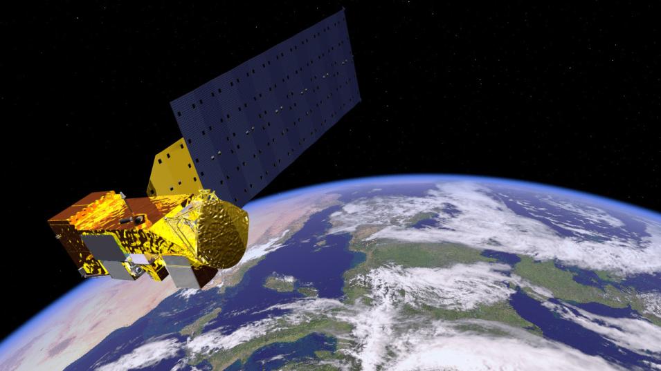
The Atmospheric Infrared Sounder (AIRS) is a hyperspectral sounder that collects daily global measurements of water vapor and temperature profiles as one of four instruments comprising the AIRS Project Instrument Suite. When launched in 2002, the AIRS Project Instrument Suite was the most advanced atmospheric sounding system ever deployed in space. AIRS data are combined with data from the Advanced Microwave Sounding Unit (AMSU-A1 and AMSU-A2) and the Humidity Sounder for Brazil (HBS) to provide 3D measurements of temperature and water vapor through the atmospheric column along with measurements of atmospheric trace gases and surface and cloud properties. These data are used by weather prediction centers to improve forecasts and to validate climate models. They also are used in applications ranging from volcanic plume detection to drought forecasting.
Due to wildfires in California, NASA's PO.DAAC and JPL are experiencing operational disruptions, which may affect their websites and processing for SMAP, MLS, SWOT, and Sentinel-6a data.
Learn more.
