Content from all Earth science data sites are migrating into this site from now until end of 2026. Not all NASA Earth science data will appear across the site until then. Thank you for your patience as we make this transition.
Read about the Web Unification Project
AMSR SIPS News
Articles, resources, and announcements from AMSR SIPS.
Quick Filters

The Global Land Ice Measurements from Space (GLIMS) Glacier Database provides timely data on more than 200,000 glaciers around the world.
Feature Article
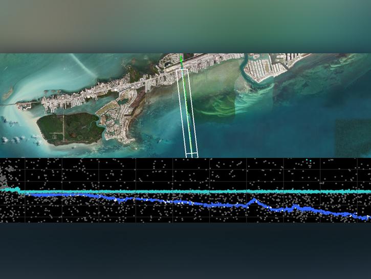
Join us on Wednesday, April 9, 2025, at 2 p.m. EDT (-04:00 UTC) to learn how to discover, access, and work with a new Ice, Cloud, and land Elevation Satellite-2 (ICESat-2) bathymetric data product, ATL24.
Webinar

A summary of datasets, products, and resources released by NASA’s Distributed Active Archive Centers (DAACs) in February 2025.
News
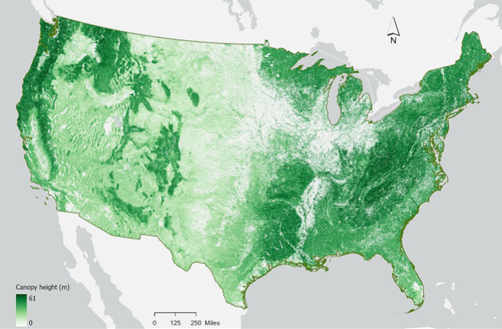
Join us on Wednesday, February 12, 2025, at 2 p.m. EST (-05:00 UTC) to learn how to work with NASA's ICESat-2 land and vegetation height data. A live demonstration will showcase the SlideRule Earth web service which provides on-demand science data processing of ICESat-2 and other geospatial data.
Webinar
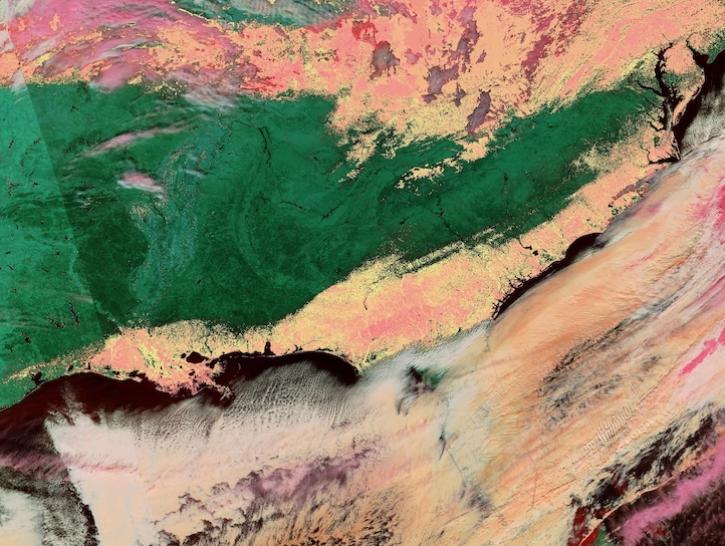
Image captured on Jan 22, 2025, by the VIIRS instrument aboard the joint NASA/NOAA NOAA-20 platform.
Worldview Image of the Week
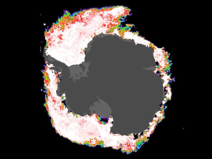
Image composite from Dec 1, 2024, captured by the AMSR2 instrument aboard the GCOM-W1 platform.
Worldview Image of the Week

A summary of datasets, products, and resources released by NASA’s Distributed Active Archive Centers (DAACs) in November 2024.
News

A summary of datasets, products, and resources released by NASA’s Distributed Active Archive Centers (DAACs) in October 2024.
News
SHOWING 8 OF 187