We are in the process of migrating all NASA Earth science data sites into Earthdata from now until end of 2026. Not all NASA Earth science data and resources will appear here until then. Thank you for your patience as we make this transition.
Read about the Web Unification Project
Sea Surface Temperature News
Articles, resources, and announcements from Sea Surface Temperature.
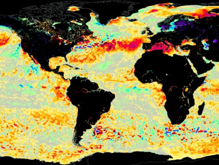
Image for June 8, 2025, from the GHRSST sea surface temperature analysis.
Worldview Image of the Week
June 9, 2025
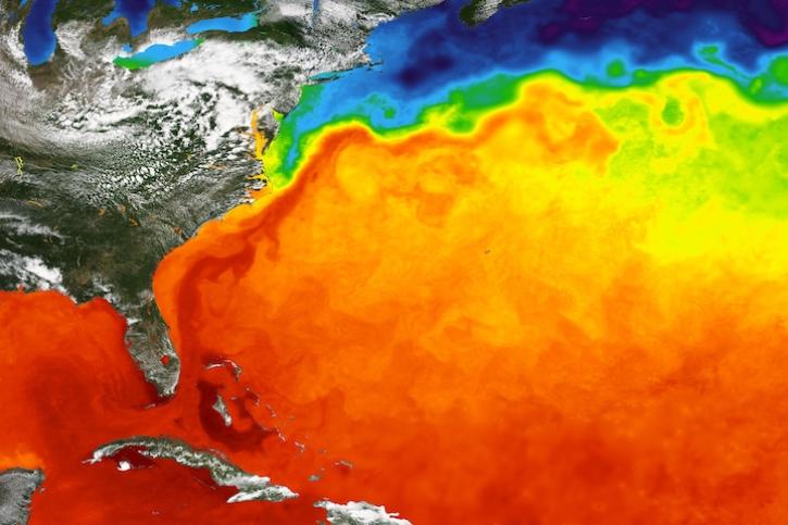
GHRSST Sea Surface Temperature image showing the Gulf Stream in the Atlantic Ocean on May 29, 2024.
Worldview Image of the Week
May 30, 2024
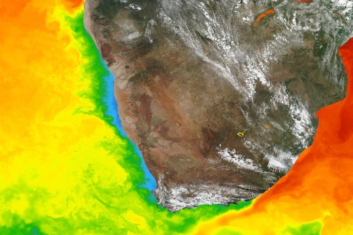
Base image captured March 5, 2024, by the Visible Infrared Imaging Radiometer Suite (VIIRS) instrument aboard the Suomi NPP satellite, overlaid with sea surface temperature.
Worldview Image of the Week
March 7, 2024
Dr. Chelle Gentemann and Dr. García Reyes work with the Careers in Science (CiS) intern program with emerging scientists at the high school level.
Blog
Dec. 7, 2023
With the State of the Ocean tool, visualizing ocean data is just a web browser away.
Feature Article
July 28, 2023
CEOS' online platform makes it easier for new users to find, visualize, and analyze remotely sensed and in-situ data on marine ecosystems.
Feature Article
Dec. 8, 2021
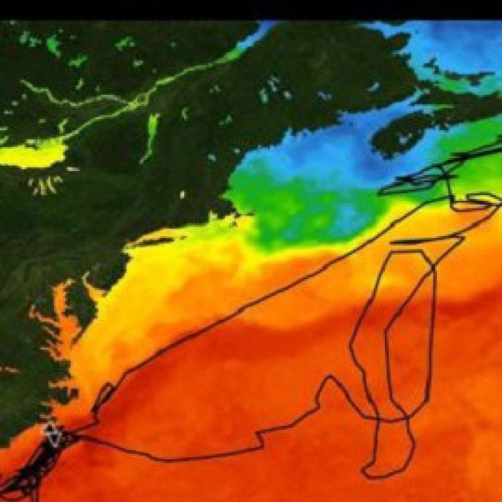
Data from the Atlantic Tradewind Ocean-Atmosphere Mesoscale Interaction Campaign (ATOMIC) shed new light on ocean-atmosphere interactions.
News
July 13, 2021
Salinity data from NASA’s PO.DAAC helps Dr. Kyla Drushka investigate sea surface salinity and the circulation and structure of the ocean.
Data User Story
June 24, 2021


