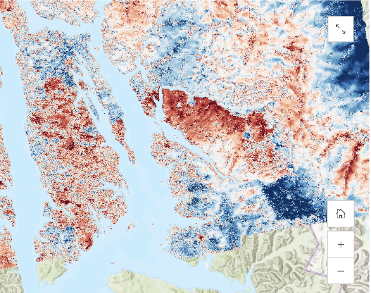
Access a range of datasets and data tools to further your terrain elevation research.
The elevation of Earth’s terrain is constantly changing through volcanoes, geohazards, mining, subsidence, urban growth, and other events and processes. Tracking terrain elevation is essential for understanding the forces that shape solid Earth and how human activity can alter the landscape. Terrain elevation data is often used to create digital elevation models (DEMs), which provide high-resolution depictions of the land surface and are needed to identify rapid or significant land surface changes.
NASA provides terrain elevation measurements from aerial and satellite instruments that can be ideal for creating DEMs, analyzing the effects of landslides and floods, assessing ice sheet thickness, improving topographical maps, and many more applications.
Learn How to Use Terrain Elevation Data
Join Our Community of NASA Data Users
While NASA data are openly available without restriction, an Earthdata Login is required to download data and to use some tools with full functionality.
Learn About the Benefits of Earthdata LoginFrequently Asked Questions
Earthdata Forum
Our online forum provides a space for users to browse thousands of FAQs about research needs, data, and data applications. You can also submit new questions for our experts to answer.
Submit Questions to Earthdata Forumand View Expert Responses