Content from all Earth science data sites are migrating into this site from now until end of 2026. Not all NASA Earth science data will appear across the site until then. Thank you for your patience as we make this transition.
Read about the Web Unification Project
Urbanization/Urban Sprawl News
Articles, resources, and announcements from Urbanization/Urban Sprawl.
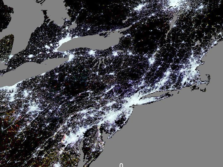
Join us on Wed., December 4, 2024, at 2 PM ET (-05:00 UTC) to learn about urban datasets at NASA's Socioeconomic Data and Applications Center (SEDAC).
Webinar
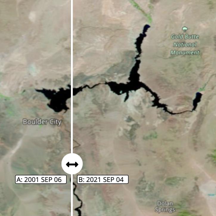
Images captured on Sep 6 and Sep 4, 2021, by the MODIS instrument aboard the Terra satellite.
Worldview Image of the Week
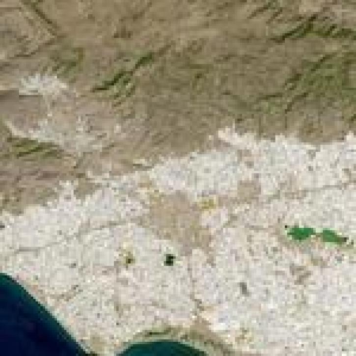
Image captured on 18 September 2021 by the OLI instrument aboard the Landsat 8 satellite.
Worldview Image of the Week
Who uses NASA Earth science data? Deborah Balk, to create new, demographically informed methods to forecast city growth.
Data User Story
Who uses NASA Earth science data? Dr. Karen Seto, to study the environmental effects of urbanization.
Data User Story
Who uses NASA Earth science data? Dr. Adam Storeygard, for economic studies of urbanization and development.
Data User Story
Data from NASA's Socioeconomic Data and Applications Center were used to create interactive maps included in the exhibit.
News
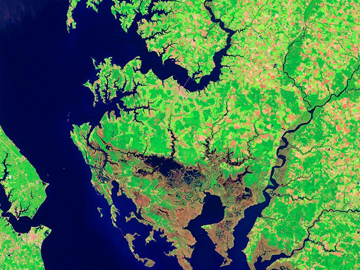
Scientists pit nature against nature to protect New Yorkers from storms.
Feature Article


