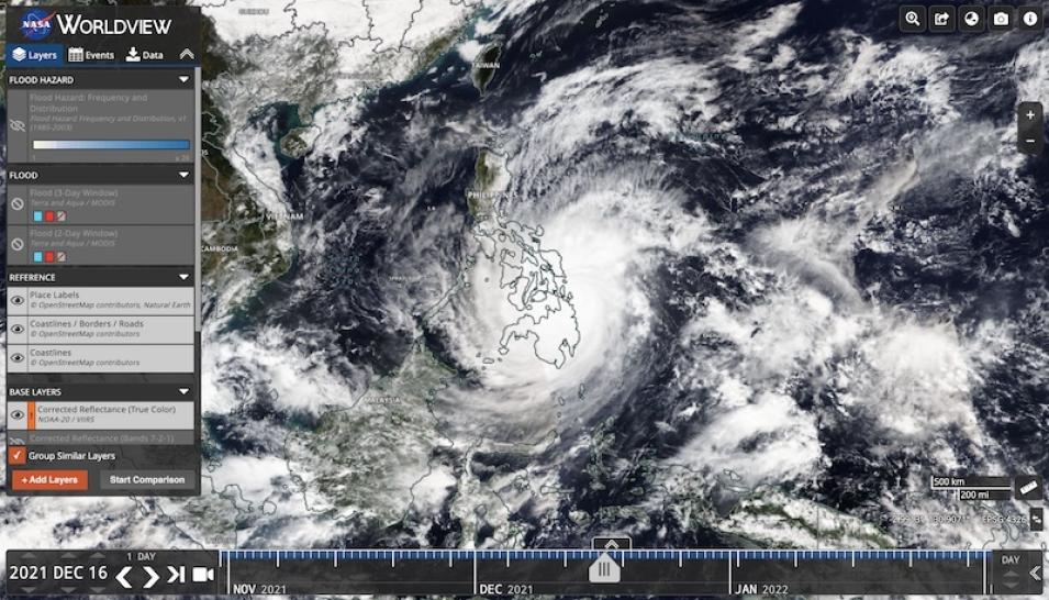
Near real-time satellite data are used to revise or confirm 24-hour forecasts related to weather systems approaching land from the ocean, which in turn gives confidence for flood warnings. Satellite images are also useful in providing everyone with the same 'big picture' of severe storms.
Users can visualize imagery related to floods in Worldview, or download data from NASA's Land, Atmosphere Near real-time Capability for Earth observation (LANCE) using the links below.
