Content from all Earth science data sites are migrating into this site from now until end of 2026. Not all NASA Earth science data will appear across the site until then. Thank you for your patience as we make this transition.
Read about the Web Unification Project
Infrastructure News
Articles, resources, and announcements from Infrastructure.
NASA’s Socioeconomic Data and Applications Center (SEDAC) has released a collection of 12 datasets focused on the urban environment.
Feature Article
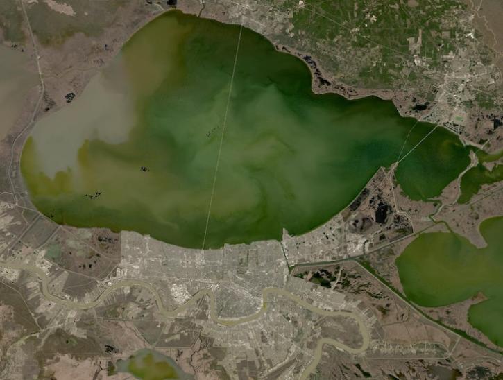
Image captured on February 2, 2025, from the OLI instrument aboard the Landsat 8 satellite.
Worldview Image of the Week
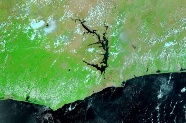
Image captured March 16, 2024, by the VIIRS instrument aboard the joint NASA/NOAA Suomi NPP satellite.
Worldview Image of the Week
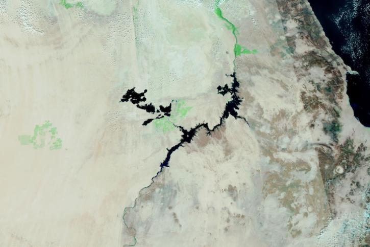
Image captured on Dec 28, 2023, by the VIIRS instrument aboard the joint NASA/NOAA Suomi NPP satellite.
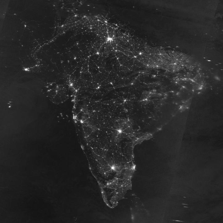
Worldview Image of the Week
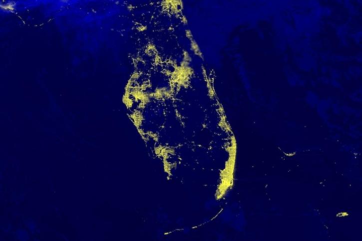
Image captured on Nov 21, 2023, by the VIIRS instrument aboard the joint NASA/NOAA Suomi NPP satellite.
Worldview Image of the Week

Bock provides NASA's Crustal Dynamics Data Information System (CDDIS) with data products based on ground displacement data.
Data User Story
Updated landing pages for the Level-1 Calibrated Radiances and Geolocation and the Level-3 Nighttime Lights products are available at NASA'S Level-1 and Atmosphere Archive and Distribution System Distributed Active Archive Center (LAADS DAAC).
News

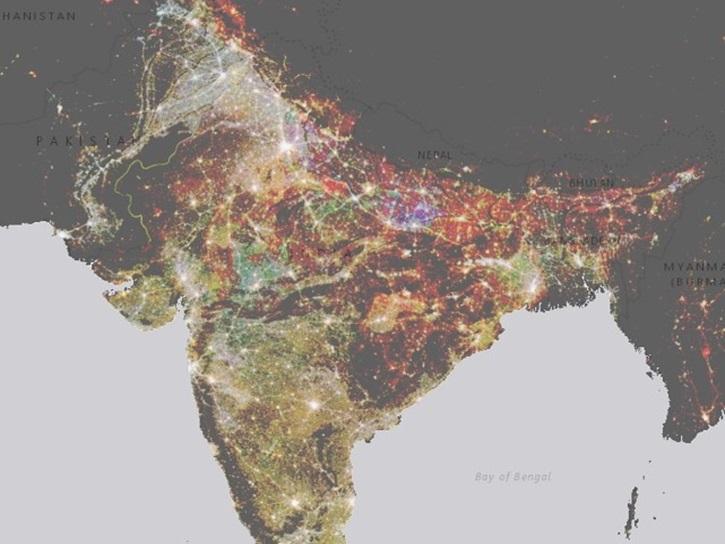
Image captured on 17 October 2021, by the VIIRS instrument, aboard the joint NASA/NOAA Suomi NPP satellite.
Worldview Image of the Week
SHOWING 8 OF 19