Content from all Earth science data sites are migrating into this site from now until end of 2026. Not all NASA Earth science data will appear across the site until then. Thank you for your patience as we make this transition.
Read about the Web Unification Project
Burned Area News
Articles, resources, and announcements from Burned Area.
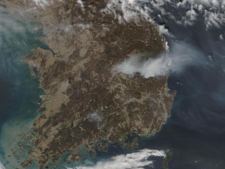
Image captured on Mar 26, 2025, by the VIIRS instrument aboard the joint NASA/NOAA NOAA-21 platform.
Worldview Image of the Week
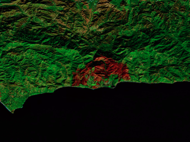
Image captured on Dec 18, 2024, by the MSI instrument aboard ESA's Sentinel-2B platform.
Worldview Image of the Week
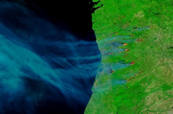
Image captured on Sep 17, 2024, by the VIIRS instrument aboard the joint NASA/NOAA NOAA-20 satellite.
Worldview Image of the Week

Image captured on Sep 10, 2024, by the VIIRS instrument aboard the joint NASA/NOAA NOAA-20 satellite.
Worldview Image of the Week

False-color reflectance image of burned areas near the Greek town of Marathon acquired on Aug 18, 2024.
Worldview Image of the Week
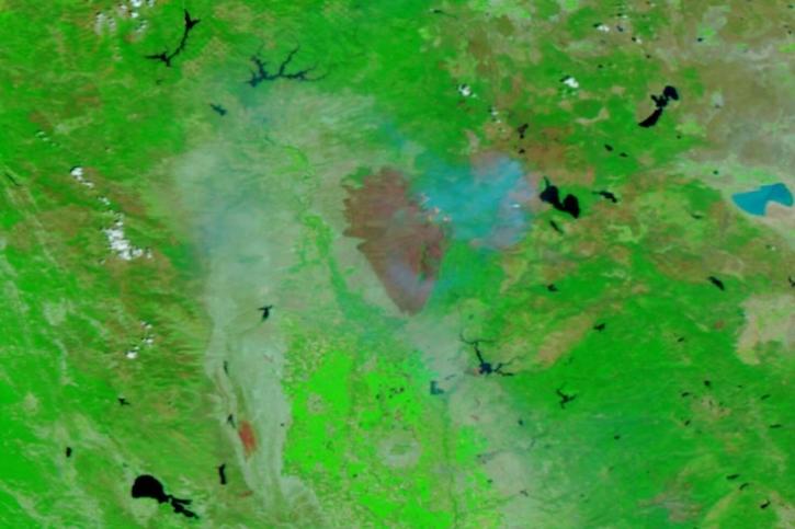
Image captured on July 31, 2024, by the VIIRS instrument aboard the joint NASA/NOAA NOAA-20 satellite.
Worldview Image of the Week
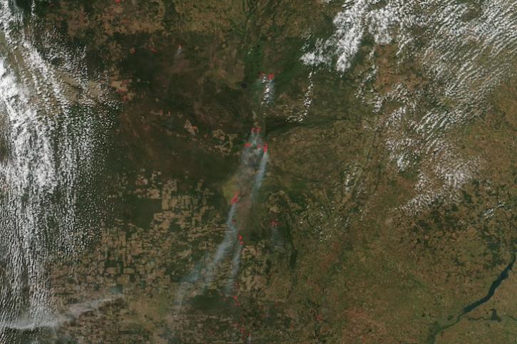
Image captured on June 12, 2024, by the VIIRS instrument aboard the joint NASA/NOAA Suomi NPP satellite.
Worldview Image of the Week
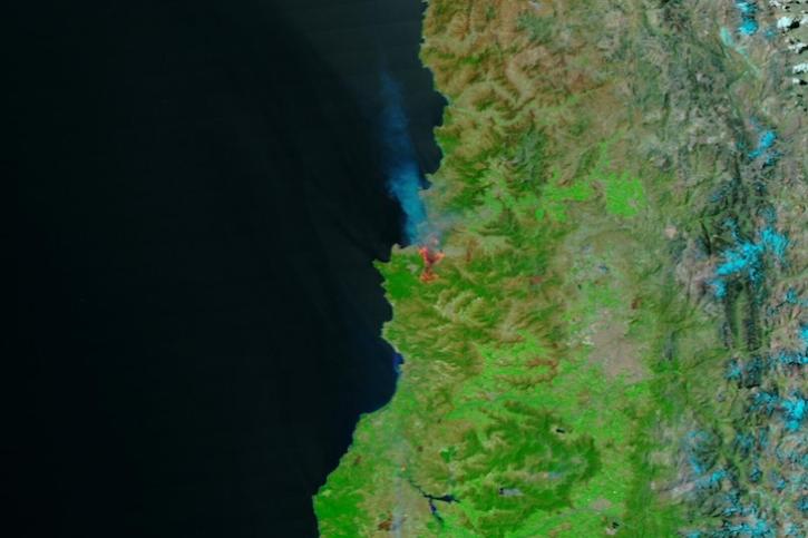
Image captured Feb 3, 2024, by the VIIRS instrument aboard the joint NASA/NOAA Suomi NPP satellite.
Worldview Image of the Week
SHOWING 8 OF 38