Content from all Earth science data sites are migrating into this site from now until end of 2026. Not all NASA Earth science data will appear across the site until then. Thank you for your patience as we make this transition.
Read about the Web Unification Project
Glaciers Data Access and Tools
Data from NASA range from detailed, high-resolution instrument imagery to aerial photographs going back decades. Our datasets and tools help users find and integrate the data they need to measure the past and present state of glaciers around the world.
Table of contents
Glaciers Data Tools
| Tool Sort descending | Description | Services | |
|---|---|---|---|
| RTC Stack Processor | The radiometric terrain correction (RTC) stack processor tool facilitates time-series analysis of such phenomena as flooding events, deforestation, or glacier retreat. | Analysis, Processing, Search and Discovery, Visualization |
SHOWING 1 OF 1
Featured Glaciers Observation Method: ASTER
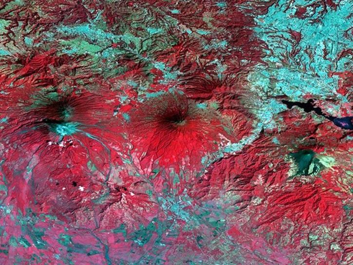
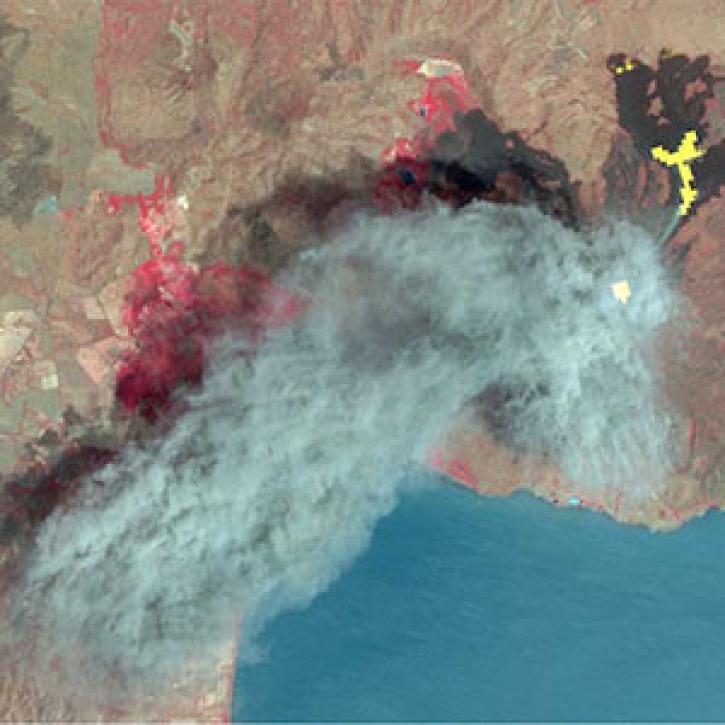
The Advanced Spaceborne Thermal Emission and Reflection Radiometer (ASTER) is a high spatial resolution instrument aboard the Terra satellite. ASTER captures images of Earth in 14 different wavelengths from visible to thermal infrared light as well as provides a Global Digital Elevation Model (GDEM) of the planet's land surface with 30-meter resolution. ASTER data can be used to create detailed images and maps of land surface temperature, emissivity, reflectance, and elevation including images of glaciers.
The final processing of Advanced Spaceborne Thermal Emission and Reflection Radiometer (ASTER) data will make its archive more accessible to users.
8 MIN READ
As of 1 April 2016, all Advanced Spaceborne Thermal Emission Reflection Radiometer (ASTER) data products are available at no charge from LP DAAC.
Version 3 of the ASTER Global Digital Elevation Model (GDEM) provides new features and sharper imagery.
Datasets
| Dataset | Size | Start Date | End Date | N Lat | S Lat | E long | W Long |
|---|---|---|---|---|---|---|---|
| SENTINEL-1A_SLC | 90.00 | -90.00 | 180.00 | -180.00 | |||
| SENTINEL-1A_SINGLE_POL_METADATA_GRD_MEDIUM_RES | 90.00 | -90.00 | 180.00 | -180.00 | |||
| SENTINEL-1A_SINGLE_POL_METADATA_GRD_HIGH_RES | 90.00 | -90.00 | 180.00 | -180.00 | |||
| SENTINEL-1A_SINGLE_POL_METADATA_GRD_FULL_RES | 90.00 | -90.00 | 180.00 | -180.00 | |||
| SENTINEL-1A_SINGLE_POL_GRD_MEDIUM_RES | 90.00 | -90.00 | 180.00 | -180.00 | |||
| SENTINEL-1A_SINGLE_POL_GRD_HIGH_RES | 90.00 | -90.00 | 180.00 | -180.00 | |||
| SENTINEL-1A_SINGLE_POL_GRD_FULL_RES | 90.00 | -90.00 | 180.00 | -180.00 | |||
| SENTINEL-1A_RAW | 90.00 | -90.00 | 180.00 | -180.00 | |||
| SENTINEL-1A_OCN | 90.00 | -90.00 | 180.00 | -180.00 | |||
| SENTINEL-1A_METADATA_SLC | 90.00 | -90.00 | 180.00 | -180.00 |
Frequently Asked Questions
Earthdata Forum
Our online forum provides a space for users to browse thousands of FAQs about research needs, data, and data applications. You can also submit new questions for our experts to answer.
Submit Questions to Earthdata Forumand View Expert Responses

