Due to the lapse in federal government funding, NASA is not updating this website. We sincerely regret this inconvenience.
Sea Level Rise News
Articles, resources, and announcements from Sea Level Rise.
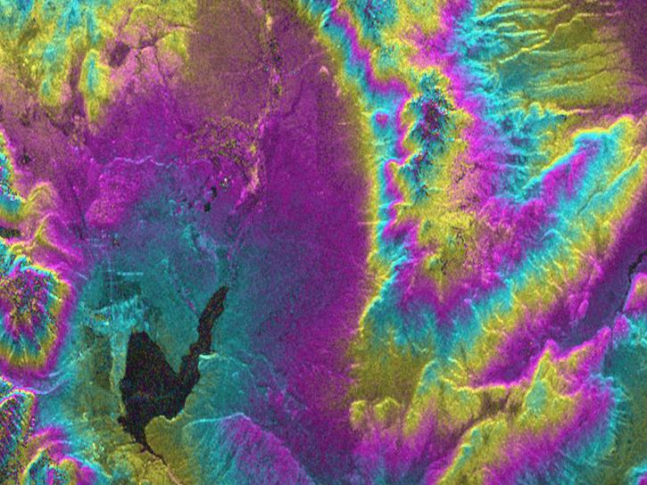
As an expert in interferometric synthetic aperture radar (InSAR), Dr. Bekaert is on the cutting edge of data science.
Data User Story
Nov. 7, 2024
This is the first in a five-part webinar series to introduce NASA's Ice, Cloud, and land Elevation-2 (ICESat-2) platform and the platform's data, tools, and applications.
Webinar
Oct. 28, 2024
This Understanding Needs to Broaden Outside Use of NASA Data (UNBOUND) workshop connected coastal zone groups with key NASA data.
News
March 7, 2024
Understanding Needs to Broaden Outside Use of NASA Data for Coastal Issues (UNBOUND CI) is a multi-session virtual workshop for data practitioners involved in coastal zone management, flood risk management, sea-level rise, and subsidence issues to help make NASA Earth science data products more discoverable and suitable for addressing issues in coastal zones.
Event
Aug. 8, 2023
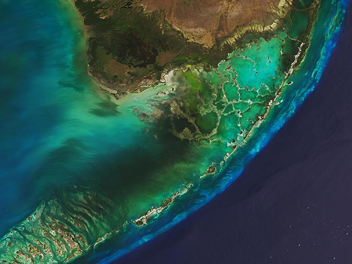
The new Sea Level Change Data Pathfinder highlights the different datasets used to piece together the status and drivers of sea level rise.
Feature Article
Feb. 18, 2022
Who uses NASA Earth science data? Dr. John Fasullo, to track changes in Earth’s climate.
Data User Story
April 22, 2021
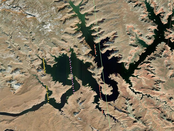
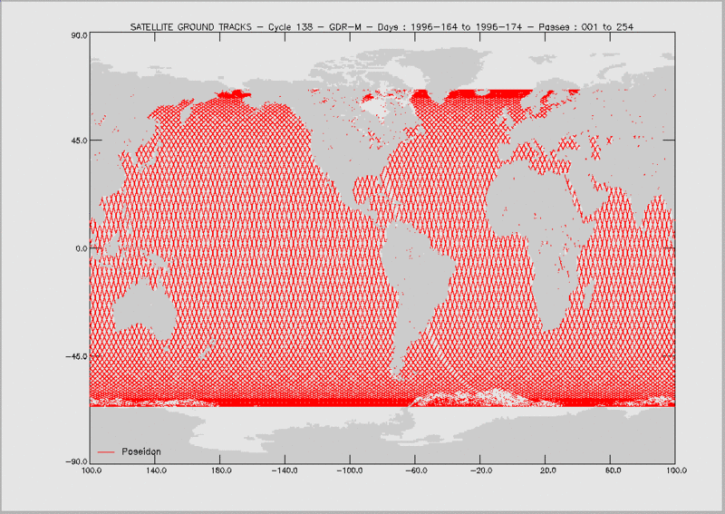
Knowing the precise location of a satellite in space is critical for determining sea surface height and, through this, the rate of global mean sea level rise.
Feature Article
April 19, 2021
The Global Sea Level Change portal is NASA’s home for sea level change data and information. As the portal’s principal investigator, Dr. Boening ensures that it remains a key resource for both scientists and the general public.
Data User Story
April 12, 2021
