Content from all Earth science data sites are migrating into this site from now until end of 2026. Not all NASA Earth science data will appear across the site until then. Thank you for your patience as we make this transition.
Read about the Web Unification Project
Agricultural Lands News
Articles, resources, and announcements from Agricultural Lands.
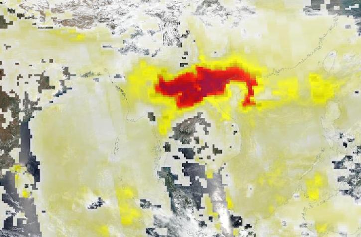
Base image acquired Mar 27, 2023, by the VIIRS instrument aboard the joint NASA/NOAA Suomi NPP satellite, overlaid with Aerosol Index values from the OMPS instrument.
Worldview Image of the Week
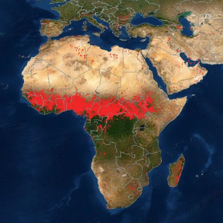
NASA Earth science data are being used in Africa’s Sahel region and across the continent to help track, study, and manage fires.
Feature Article
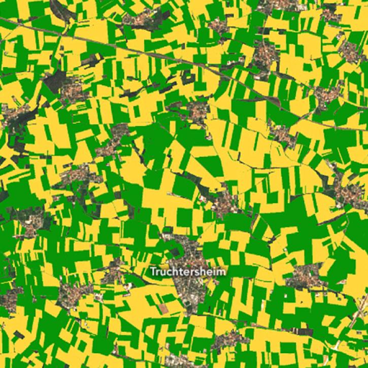
Image captured on Nov 4, 2022, by the MSI instrument aboard the ESA (European Space Agency) Sentinel-2A and -2B satellites.
Worldview Image of the Week
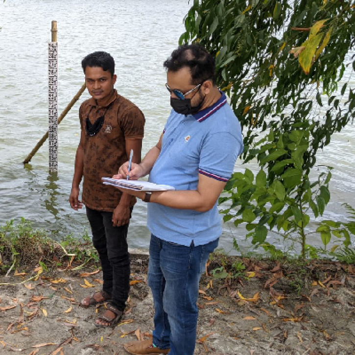
NASA satellite data and citizen scientists are giving the Bangladesh government a better understanding of the country's surface water storage.
Feature Article
New research uses 3D lidar profiles of Earth's surface to map where corn is being grown.
Feature Article
Satellites provide crucial information for researchers to monitor and help improve agricultural productivity in India.
Feature Article
Who uses NASA Earth Science Data? Fred Huemmrich, to study ecosystem functions and how ecosystems respond to environmental conditions.
Data User Story
Who uses NASA Earth science data? Dr. Karen Seto, to study the environmental effects of urbanization.
Data User Story
