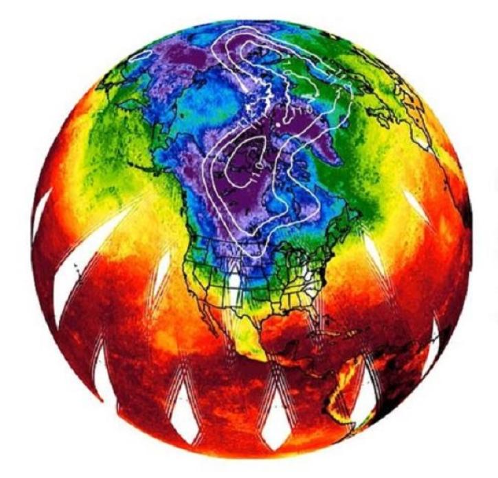
Surface Temperature Data Access and Tools
NASA has surface temperature datasets that help researchers characterize how warm air is over land and water. Access a range of data and data tools such as AppEEARS, HEG: HDF-EOS to GeoTIFF Conversion Tool, and GOES-5 Weather Maps to make the most of surface temperature data.
Surface Temperature Datasets
| Dataset Sort descending | Version | Platforms | Instruments | Temporal Extent | Spatial Extent | Spatial Resolution | Data Format |
|---|---|---|---|---|---|---|---|
| ABCFlux v2: Arctic-Boreal CO2 and CH4 In-situ Flux and Environmental Data | 1 | FIELD SURVEYS | SURVEYING TOOLS | 1984-05-01 to 2024-12-31 |
N: 82.8226 S: 43.323 E: 161.843 W: -165.833 |
CSV | |
| ABLE-2A Electra Meteorological and Navigational Data | 1 | NASA ELECTRA | TAMMS | 1985-07-11 to 1985-08-15 |
N: 37.1 S: -7.2 E: -47.48 W: -76.3 |
GTE | |
| ABLE-2A Merge Data | 1 | Data Analysis, NASA ELECTRA | NOT APPLICABLE | 1985-07-11 to 1985-08-15 |
N: 37.1 S: -7.2 E: -47.48 W: -76.3 |
GTE | |
| ABLE-2A Sondes Data | 1 | RADIOSONDES | RAWINSONDES, TETHERSONDES | 1985-07-11 to 1985-08-15 |
N: 37.1 S: -7.2 E: -47.48 W: -76.3 |
GTE | |
| ABLE-2B Electra Meteorological and Navigational Data | 1 | NASA ELECTRA | TAMMS | 1987-04-01 to 1987-05-15 |
N: 37.54 S: -84.1 E: -31.29 W: -81.47 |
GTE | |
| ABLE-2B Sondes Data | 1 | RADIOSONDES | RAWINSONDES | 1987-04-01 to 1987-05-15 |
N: 37.54 S: -84.1 E: -31.29 W: -81.47 |
GTE | |
| ABLE-3A Electra Meteorological and Navigational Data | 1 | NASA ELECTRA | TAMMS | 1988-07-07 to 1988-08-18 |
N: 83.332 S: 37.082 E: -55.443 W: -168.402 |
GTE, JPEG | |
| ABLE-3A Merge Data | 1 | NASA ELECTRA, Data Analysis | NOT APPLICABLE | 1988-07-07 to 1988-08-18 |
N: 83.332 S: 37.082 E: -55.443 W: -168.402 |
GTE | |
| ABLE-3B Electra Meteorological and Navigational Data | 1 | NASA ELECTRA | TAMMS | 1990-06-11 to 1990-08-18 |
N: 63.748 S: 37.053 E: -49.4 W: -106.178 |
GTE, JPEG | |
| ABLE-3B Merge Data | 1 | NASA ELECTRA, Data Analysis | NOT APPLICABLE | 1990-06-11 to 1990-08-18 |
N: 63.748 S: 37.053 E: -49.4 W: -106.178 |
GTE |
Frequently Asked Questions
Earthdata Forum
Our online forum provides a space for users to browse thousands of FAQs about research needs, data, and data applications. You can also submit new questions for our experts to answer.
Submit Questions to Earthdata Forumand View Expert Responses


