Content from all Earth science data sites are migrating into this site from now until end of 2026. Not all NASA Earth science data will appear across the site until then. Thank you for your patience as we make this transition.
Read about the Web Unification Project
Atmospheric Water Vapor Learning Resources
Webinars, tutorials, data recipes and more to help you work with Atmospheric Water Vapor.
Quick Filters
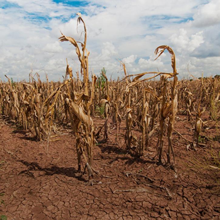
Propagation and Impacts of Great Plains Drought Captured by NASA Models and Datasets
StoryMap
This code converts total precipitable water in the Land, Atmosphere Near real-time Capability for Earth observation (LANCE) AMSR2 Near Real-Time Ocean product in HDF-EOS5 format to GeoTIFF.
Data Recipe
This code converts total column water vapor ('TotalColWaterVapor') in the AMSR2 Near Real Time (NRT) Rain product in HDF-EOS5 format to GeoTIFF.
Data Recipe
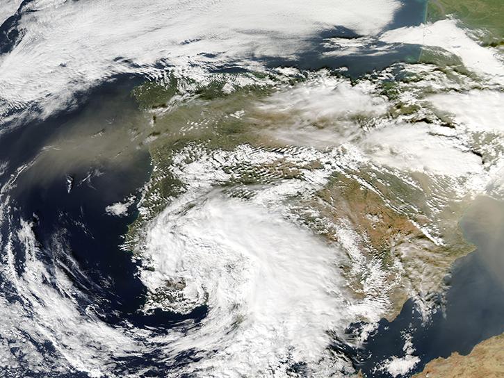
Join us for an overview of NASA's LAADS DAAC, its Level-1 and atmospheric data products, and to explore different options to search, discover, and acquire the data.
Webinar
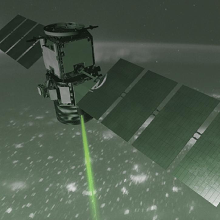
How NASA Langley Research Center is Taking Lidar to New Heights to Better Understand Our Earth
StoryMap
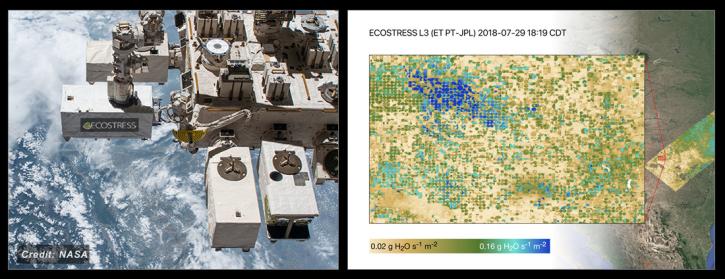
NASA's ECOSTRESS Mission studies how plants use water by measuring their temperature from space. Join us to learn more about ECOSTRESS mission measurements, data and tools!
Webinar
This API allows users to visualize Atmospheric Infrared Sounder data using a Common Metadata Repository search result.
Data Recipe
SHOWING 7 OF 7
Frequently Asked Questions
Earthdata Forum
Our online forum provides a space for users to browse thousands of FAQs about research needs, data, and data applications. You can also submit new questions for our experts to answer.
Submit Questions to Earthdata Forumand View Expert Responses


