The "manifest.safe" file is an XML file containing the mandatory product metadata common to all Sentinel-1 products.
"Annotation" datasets contain metadata describing the properties and characteristics of the measurement data or how they were generated. For each band of data there is a product annotation data set that contains metadata describing the main characteristics corresponding to that band such as the state of the platform during acquisition, image properties, polarization, Doppler information, swath merging and geographic location. Calibration annotations contain calibration information and the beta naught, sigma naught, gamma and digital number look-up tables that can be used for absolute product calibration. Noise data annotations contain the estimated thermal noise look-up tables. Annotated data sets are provided in XML format.
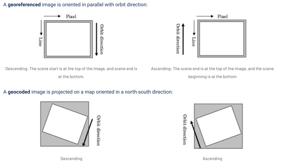
"Measurement" datasets contain the binary information of the actual acquired or processed data. For Level 0 this is the instrument data, for Level 1 it is processed data. Measurement datasets are provided in GeoTIFF format (georeferenced) for Level 1 products. There is one measurement data set per polarization and per swath. TOPSAR SLC products contain one complex measurement data set in GeoTIFF format (georeferenced) per swath per polarization. Level 1 GRD products contain one detected measurement data set in GeoTIFF format (georeferenced) per polarization.
In the "Preview" folder, quick-look datasets are power detected, averaged and decimated to produce a lower resolution version of the image. Single polarization products are represented with a grey scale image. Dual polarization products are represented by a single composite color image in RGB with the red channel (R) representing the first polarization, the green channel (G) represents the second polarization and the blue channel (B) represents an average of the absolute values of the two polarizations.
Representation datasets found in the "Support" folder contain information about the format or syntax of the measurement and annotated data sets and can be used to validate and exploit these data. Representation data sets are provided as XML schemas.

