We are in the process of migrating all NASA Earth science data sites into Earthdata from now until end of 2026. Not all NASA Earth science data and resources will appear here until then. Thank you for your patience as we make this transition.
Read about the Web Unification Project
Explore Learning Resources
NASA’s massive archive of Earth science data are free and open to any user for any purpose—but accessing, analyzing, visualizing, and applying these data requires a certain degree of knowledge about Earth observation data and how it is collected and optimized.
Check out our catalog of learning resources to better understand data basics, explore geographic information systems (GIS), and level up your skills in areas ranging from data in the cloud to using a representational state transfer (REST) interface.
Data in Action
Data in Action demonstrates Earth science data applications with interactive explanations as to how the work was accomplished.
Data Recipes
Data Recipes are code-based instructions that help users accomplish a specific task, such as converting data into a specific format for analysis or visualization.
Tutorials
Tutorials are step by step “how to” content that cover a broad range of tasks, from data discovery to application.
Webinars
Webinars are video seminars and workshops featuring experts in various disciplines who share their knowledge in a particular subject area, from data in the cloud to specific data tools.
Get Started With Earth Observation Data Basics
Explore our user-friendly guide to the fundamentals of data collected by Earth-observing instruments and platforms.
The lifecycle of Earth observation data is rich and complex, with many points of entry along the pipeline. From collection to visualization, we dive deep into the basics to demystify the incredible data in our catalog.
Learn More About Earth Observation Data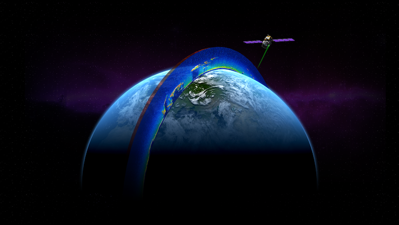

Learn the basics about remotely-sensed data, from instrument characteristics to different types of resolution to data processing and analysis.
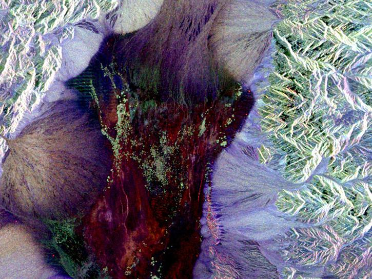
SAR is one of the power technologies of remote sensing, and enables high resolution imagery to be created night or day, regardless of weather conditions.
Several factors affect the speed at which data are processed and made available to users. Here's how NASA defines data latency.

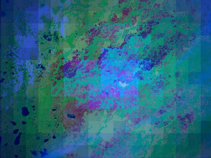
GIS Resources
Discover, explore, and access Geographic Information Systems (GIS) content to help you better understand Earth science using NASA’s open data.
GIS allow users to integrate and collectively analyze geospatial data from multiple sources, including satellite imagery, GPS recordings, and textual attributes associated with a particular space. Explore our collection of GIS-ready datasets, geospatial services, and tools for accessing data.
Learn More About Using GIS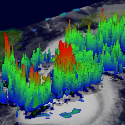
Join Our Community of NASA Data Users
While NASA data are openly available without restriction, an Earthdata Login is required to download data and to use some tools with full functionality.
Learn About the Benefits of Earthdata LoginFrequently Asked Questions
Earthdata Forum
Our online forum provides a space for users to browse thousands of FAQs about research needs, data, and data applications. You can also submit new questions for our experts to answer.
Submit Questions to Earthdata Forumand View Expert Responses