"The ongoing collection of flux and other biological measurements that drive ecosystem process models will increase the depth and breadth of the research," said Beverly Law, chair of the AmeriFlux Science Team. "The agencies funding us hope that we will learn enough to say something about carbon dioxide fluxes across regions and continents and will better understand what goes on seasonally across different vegetation types."
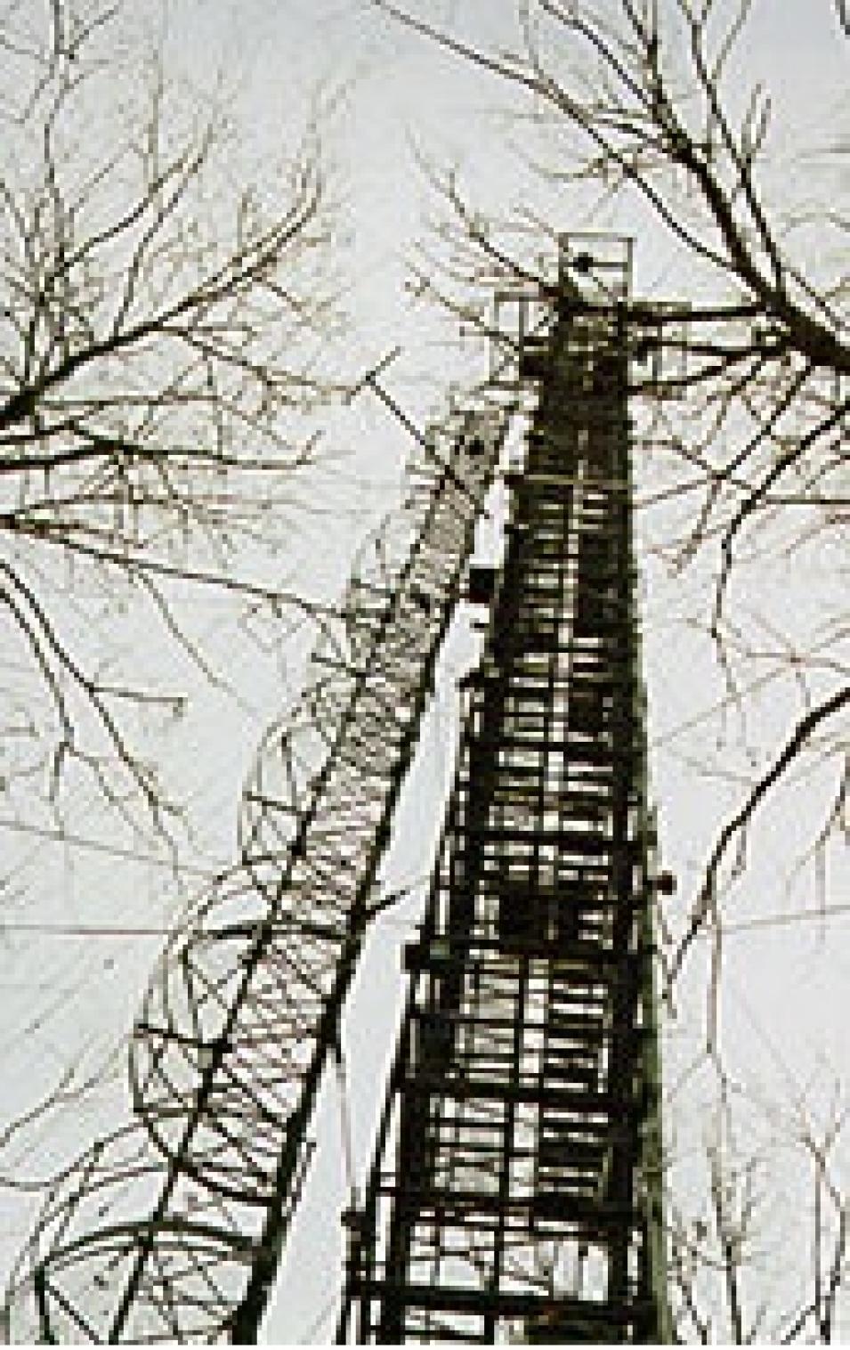
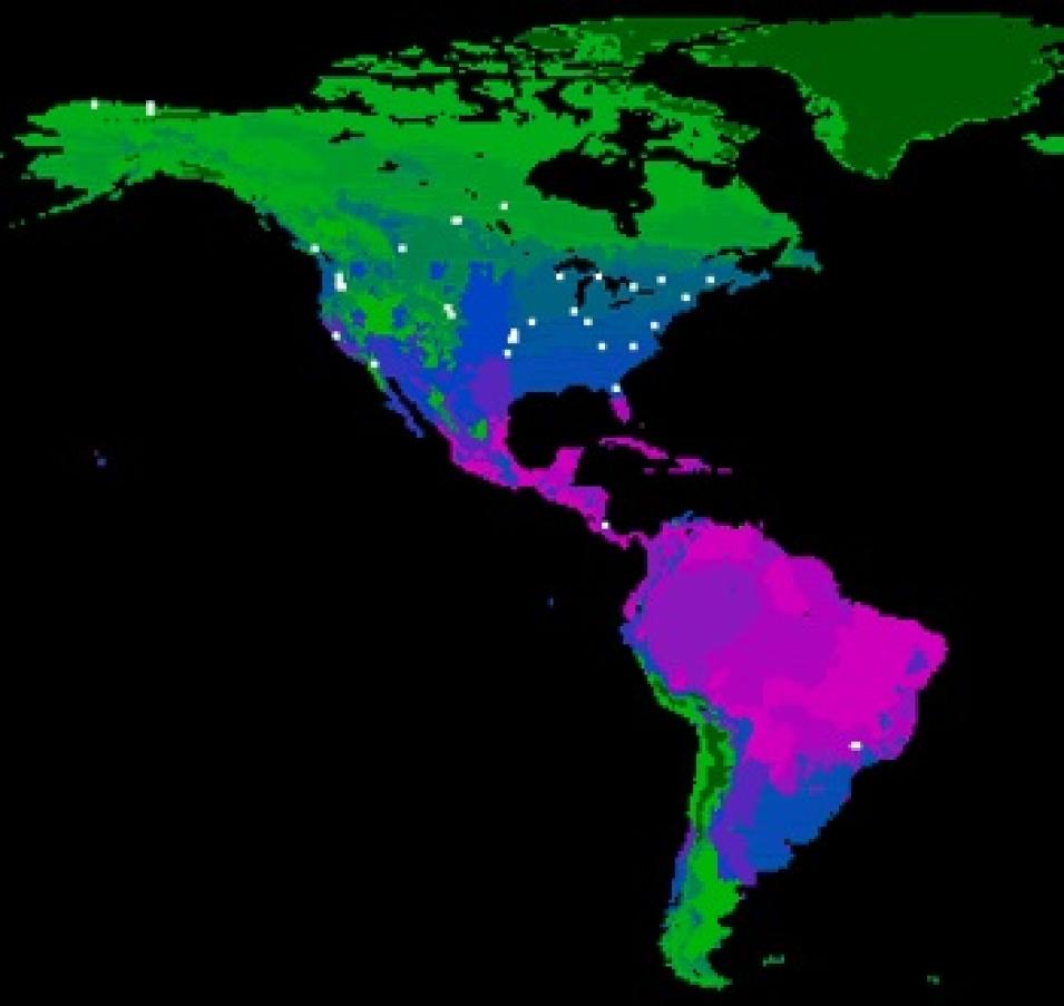
Scientists have installed flux towers at regional sites that span up to or, in anticipation of tree growth, above the tree canopy. Towers in forests may be as high as 70 meters compared to grassland tower heights of 4.5 meters. The AmeriFlux network also includes one 400-meter TV tower, which enables scientists to sample air in the planetary boundary layer.
Field personnel rig instruments along the height of the towers and at the soil surface to record a variety of parameters including carbon dioxide exchange, air temperature, wind speed and direction and water vapor exchange. After collecting the recorded data, researchers send the information from their research site to their regional network, such as the AmeriFlux network.
"Information collected from individual flux tower sites is routinely 'cleaned' and submitted to a regional network," said Richard Olson, staff scientist at NASA's Oak Ridge National Laboratory (ORNL) Distributed Active Archive Center (DAAC). "The regional network then sends the data to us for additional quality checks and to interpolate any gaps that might occur due to things like instrument failure. Finally, we put all of the data into a common format and make it accessible to researchers."
"Collecting FLUXNET data is a complex, time consuming activity," said Law. "Carbon cycling is by its nature complex, requiring interdisciplinary study. Large spatial-scale questions involve the contributions of many variously skilled researchers, including atmospheric scientists, ecophysiologists and climate modelers, to work together in understanding the role of vegetation in the global carbon cycle."
"We have soil-plant-atmosphere gas exchange (SVAT) models to predict an ecosystem's net carbon uptake based on our understanding of carbon uptake from the leaf level on up to plant level. However, prior to FLUXNET we were never able to get an integrated measure in addition to all of the little pieces required for the models, so we didn't know whether models were giving us realistic answers for the various outputs. The real value of the flux data is that they give us that integrated measure and allow us to explore general principals of ecosystem functioning across vegetation types and climate zones," said Law.
"Currently, FLUXNET data are used to compare flux measurements with output from both models and values derived from the Moderate Resolution Imaging Spectroradiometer (MODIS), one of the sensor's on NASA's Terra satellite," Olson said. "Twenty sites post micrometeorology measurements for modeling groups to use in running SVAT models. In addition, ORNL DAAC staff work with the MODIS Data Processing System (MODAPS) and NASA's Land Processes DAAC (LP DAAC) staff to extract, reformat, and post MODIS-derived products for the area immediately surrounding flux towers. The comparisons with flux data provide a unique measurement to improve models and satellite products."
"With access to global data, processes emerge that we hadn't recognized using regional data alone," said Baldocchi. "Because the network is still relatively sparse, it's not possible for us to sum up the carbon balance. But we can identify the biosphere/atmosphere interactions required for gas exchange models. Combined with remote sensing information, these models might eventually be better able to identify where carbon is sequestered, versus where it is released."
"It's important to collect ecosystem carbon dioxide flux data as a first priority. But we also need to collect weather and soil data, as well as information on the structure and function of the underlying plant community, to better interpret the flux data," said Baldocchi.
"In the past people made very localized carbon flux measurements to determine how green plants use atmospheric carbon," said Baldocchi. "However, after the initial collection, data were often simply filed away. FLUXNET takes all of this information and makes it accessible to scientists via a global information network. FLUXNET will likely increase the number of scientific discoveries as more and more scientists begin looking at data and results."
For more information
NASA Land Processes Distributed Active Archive Center (LP DAAC)
NASA Oak Ridge National Laboratory DAAC (ORNL DAAC)
FLUXNET Web site
| About the remote sensing data used |
| Satellite |
Terra |
| Sensor |
Moderate Resolution Imaging Spectroradiometer (MODIS) |
| Parameter |
carbon exchange between forests and atmosphere |
| DAAC |
NASA Land Processes Distributed Active Archive Center (LP DAAC) |
| About the data used |
| Data |
SVAT
FLUXNET |
| Parameter |
carbon exchange between forests and atmosphere |
| DAAC |
NASA Oak Ridge National Laboratory Distributed Active Archive Center (ORNL DAAC) |

