Read an Earthdata article celebrating LANCE's Top 10 milestones over a decade of service.
History
NASA’s Earth Observing System Data and Information System (EOSDIS) provides a wealth of data and products supporting scientific research of the atmosphere, oceans, and land. Data from the Earth Observing System (EOS) instruments aboard the Terra, Aqua, and Aura platforms make global measurements daily. The measurements are processed into higher-level "standard" products within 8 to 40 hours of observation and then made available to users, primarily Earth science researchers.
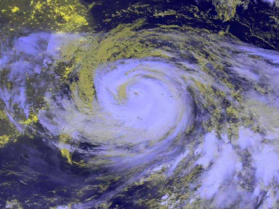
However, application users, operational agencies, and even researchers require EOS products to support research and applications, such as numerical weather and climate prediction; forecasting and monitoring natural hazards, ecological/invasive species, agriculture, and air quality; providing help with disaster relief; and homeland security. These users often need data much sooner than routine science processing allows, usually within three hours, and are willing to trade science product quality for timely access. In response to this need, NASA developed LANCE.
Building on the existing EOSDIS near real-time (NRT) capabilities, NASA’s Earth Science Division sponsored the development of LANCE. LANCE consists of special processing elements, co-located with selected EOSDIS Distributed Active Archive Centers (DAACs) and processing facilities. These elements process expedited data from the Earth Observing System (EOS) Data and Operations System (EDOS) using optimized science algorithms to provide data in near real-time. LANCE development is jointly sponsored by the Flight, Research and Analysis, and Applied Sciences Programs within NASA’s Earth Science Division (ESD).
The Lightning Imaging Sensor (LIS) on the International Space Station was decommissioned on November 16, 2023. There will be no further near real-time data from this instrument. Please see the Earthdata article Lightning Imaging Sensor's Nearly 25-Year Data Record Ends.
The processing of Multi-angle Imaging SpectroRadiometer (MISR) NRT products has not resumed since the change in orbit altitude of NASA's Terra platform in October 2022, which required major updates to Level 1 and Level 2 products. The processing of MISR standard products resumed on November 1, 2023. These products are available through Earthdata search.