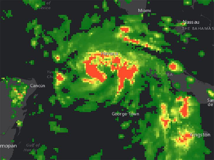
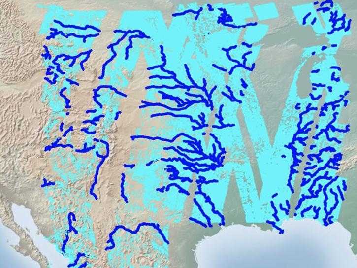
Various data services, maps, apps, and tools are available through NASA’s Earthdata Geographic Information System (EGIS), including ArcGIS Image Services, which provide a flexible and scalable way to store, process, analyze, and share imagery and raster products.
These services leverage a powerful server backend to perform required processing on-the-fly along with dynamic mosaicking of images.
EGIS allows users to:
- Reduce time spent on data wrangling and pre-processing
- Increase time for science analysis/inquiry
- Query services to display/process in their specific area of interest
- Perform raster analytics including aggregates, differences, or classifications
- Perform raster functions including reprojection, orthorectification, clipping, application of complex image processing algorithms, and more
Additionally, users can access and perform analysis through open-source tools such as QGIS and Jupyter Notebooks, using the published representational state transfer (REST), Open Geospatial Consortium (OGC) Web Map Service (WMS), or Web Coverage Service (WCS) endpoints.


