Content from all Earth science data sites are migrating into this site from now until end of 2026. Not all NASA Earth science data will appear across the site until then. Thank you for your patience as we make this transition.
Read about the Web Unification Project
L-SAR Resources
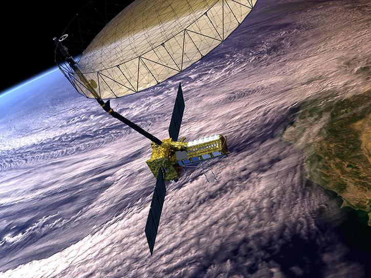
Earthdata resources for users working with the data provided by the L-band synthetic aperture radar (L-SAR) aboard the NASA/Indian Space Research Organization SAR (NISAR) platform include tutorials and other learning resources, news announcements such as instrument updates and data releases, user guides and related documents, and frequently asked questions.
L-SAR Learning Resources

Our Earth Data Officer, Katie Baynes, spoke at the Federal GIS Conference Plenary. In case you missed her presentation, here is a story map for you to catch up on how NASA Earth data can be leveraged in your GIS project.
StoryMap
Work with data from the NASA/ISRO (Indian Space Research Organization) Synthetic Aperture Radar (NISAR) platform in ArcGIS Pro.
StoryMap
Learn how to work with NASA/Indian Space Research Organization (ISRO) Synthetic Aperture Radar (NISAR) data in the HDF5 format.
Webinar

This video introduces the Time Series with InSAR SBAS, Permanent Scatterer (PS), and combined, the Time Series notebook, and the Jupyter Notebook.
Webinar
Learn how to set up OpenScienceLab environments using data from the NASA/Indian Space Research Organization (ISRO) Synthetic Aperture Radar (NISAR) platform.
Webinar
Experts from NASA's Alaska Satellite Facility (ASF) introduce the basic principles of synthetic aperture radar (SAR) data.
Webinar

In this video, Rudi Gens provides an introduction to NASA’s Observational Products for End-Users from Remote Sensing Analysis (OPERA) project data product suite.
Webinar
This video features an introduction to the agenda and logistics for Day 2 of the NISAR Early Adopters Program two-day workshop, January 23-24, 2024.
Webinar
SHOWING 8 OF 14

In preparation for NISAR—the NASA/ISRO (Indian Space Research Organisation) Synthetic Aperture Radar mission—NASA is working to ensure that mission metadata is compatible with existing standards and best practices.
News

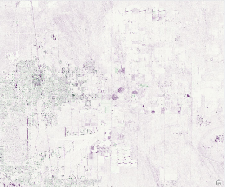
The radiometric terrain corrected synthetic aperture radar data are NASA’s first to meet Committee on Earth Observations Satellites specifications.
News
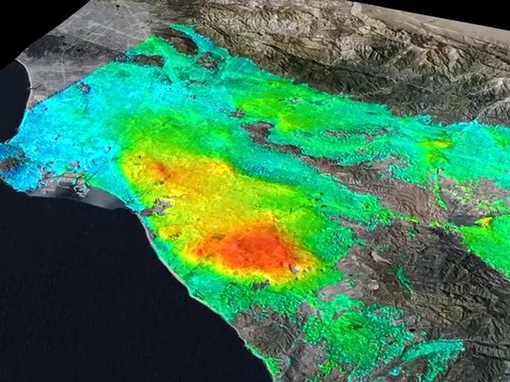
As an expert in interferometric synthetic aperture radar (InSAR), Dr. Bekaert is on the cutting edge of data science.
Data User Story
New tutorials available for working with NASA/Indian Space Research Organization (ISRO) SAR (NISAR) sample data.
News
SHOWING 4 OF 26
Frequently Asked Questions
Earthdata Forum
Our online forum provides a space for users to browse thousands of FAQs about research needs, data, and data applications. You can also submit new questions for our experts to answer.
Submit Questions to Earthdata Forumand View Expert Responses