
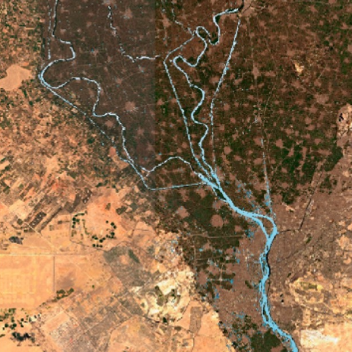
Rivers and streams are like Earth's veins and capillaries, waterways that supply the planet with vital water, nutrients, and habitats for many of its important ecosystems. They also contribute to larger bodies of water including lakes, seas, and the ocean. For humans, they can serve many purposes including as transportation networks, resources and hubs for industry and power production, as well as sources of food, recreation, and beauty for some of the greatest places we call home. During extreme weather, rivers and streams can also be dangerous, swiftly swelling with water and flooding communities

NASA continuously collects ground, airborne, and space-based rivers and streams data. Data is supplied by methods such as stream gauges monitoring flooding risk, computer models predicting river behavior over time, and the Surface Water Ocean Topography (SWOT) platform making large-scale, detailed observations of the planet's surface water elevation. 

The data is useful for a variety of applications including ecological management, climate research, flood risk planning and response, agriculture, and increasing understanding of fluvial processes.

Get Rivers/Streams Data

Access a range of datasets and data tools to further your rivers and streams research.

Learn How to Use Rivers/Streams Data

Access a range of webinars, tutorials, data recipes, and data stories to enhance your knowledge of Earth Observation data.
Webinar thumbnail for the SWOT webinar to be held on March 20, 2024.
Accessing Data for the World's Water with SWOT
Learn how to discover, access, and use Surface Water and Ocean Topography (SWOT) mission data and how these data can lead to new, innovative science and applications in the world of water.
High resolution image of Cairo, Egypt, with city in brown; blue ribbon indicates path of Nile River through the city
Diving Into SWOT Hydrology Data
A workshop hosted by NASA's Physical Oceanography Distributed Active Archive Center (PO.DAAC) explored data and resources for working with observations from the Surface Water and Ocean Topography (SWOT) mission.
Discover and Visualize Rivers/Streams Data
NASA data help us understand Earth's changing systems in more detail than ever before, and visualizations bring these data to life, making Earth science concepts accessible, beautiful, and impactful.
Data visualization is a powerful tool for analysis, trend and pattern recognition, and communication. Our resources help you find world-class data visualizations to complement and enhance your research. We also have tools and tutorials to help you translate rivers and streams data into compelling visuals.
Image
Hotan River, China on 16 August 2020 (MODIS/Terra)
This is a false-color image of the Hotan River in China acquired on Aug. 17, 2020 by the Moderate Resolution Imaging Spectroradiometer (MODIS) instrument aboard NASA's Terra satellite. Liquid water on the ground appears very dark. Sediments in water appear dark blue. Vegetation is green and soils have a pinkish tinge.

Join Our Community of NASA Data Users

While NASA data are openly available without restriction, an Earthdata Login is required to download data and to use some tools with full functionality.

Learn About the Benefits of Earthdata Login

Frequently Asked Questions

Earthdata Forum

Our online forum provides a space for users to browse thousands of FAQs about research needs, data, and data applications. You can also submit new questions for our experts to answer.

Submit Questions to Earthdata Forumand View Expert Responses

Earthdata
Forum