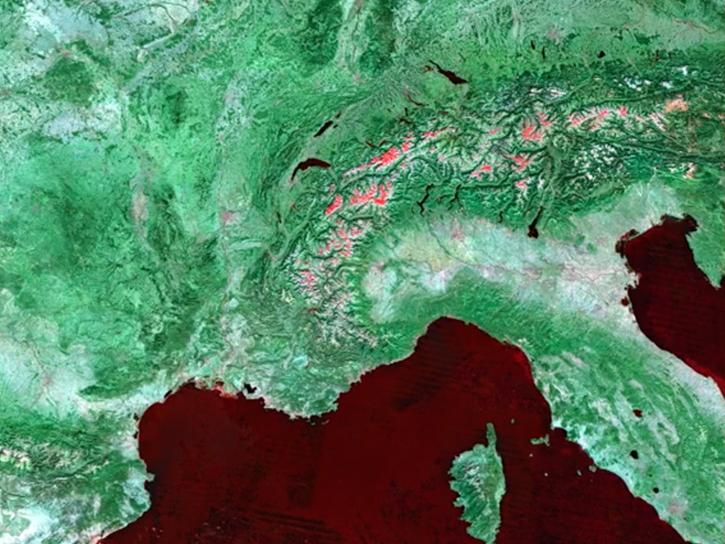
Access a range of datasets and data tools to further your research into surface radiative properties.
Every year, the Sun bathes Earth’s surface in 44 quadrillion watts of solar energy — as much energy as 44 million large electric power plants. Surface radiative properties, or the ways in which surfaces interact with thermal radiation, tell scientists more about how different types of land cover react to this enormous amount of sunlight.
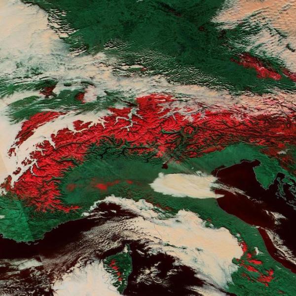
Some terrain types, such as snow and ice, reflect most of the radiation they receive back into space. Others, such as forests and urban areas, absorb most of the Sun’s radiation. Studying these properties helps researchers answer crucial questions about how the planet’s temperature is changing over time, the effects of human activity on surface reflectance, and how the Sun’s energy interacts with Earth.
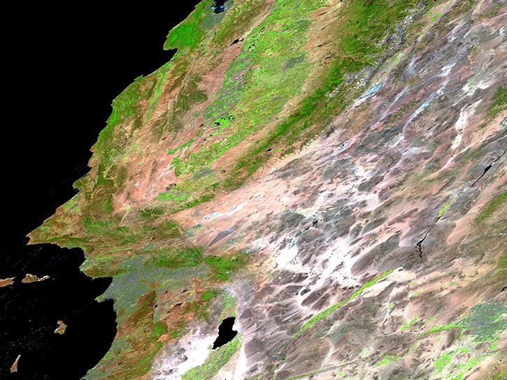
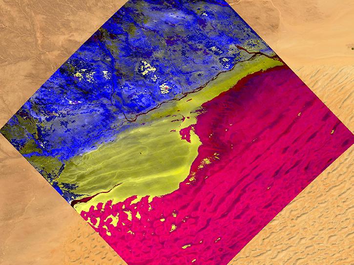
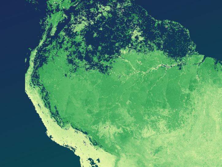
NASA curates stores of data about surface radiative properties from instruments such as OLI (Operational Land Imager), VIIRS (Visible Infrared Imaging Radiometer Suite), and the outgoing MODIS (Moderate Resolution Imaging Spectroradiometer). Land surface reflectance data from these instruments have been corrected to remove atmospheric effects, making them useful not just for studies of surface radiative properties, but for a wide variety of Earth science applications.
Learn How to Use Surface Radiative Properties Data
Join Our Community of NASA Data Users
While NASA data are openly available without restriction, an Earthdata Login is required to download data and to use some tools with full functionality.
Learn About the Benefits of Earthdata LoginFrequently Asked Questions
Earthdata Forum
Our online forum provides a space for users to browse thousands of FAQs about research needs, data, and data applications. You can also submit new questions for our experts to answer.
Submit Questions to Earthdata Forumand View Expert Responses