Access a range of datasets and data tools to further your land use/land cover research.
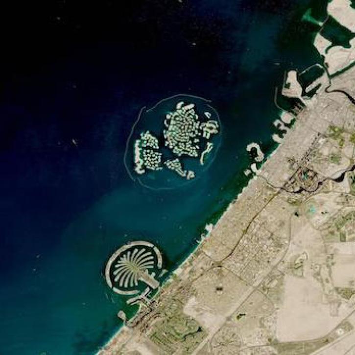
If you travel across Earth, you’ll experience vastly different landscapes, from forests to plains to wetlands to tundra. You’ll also find humans shaping these different terrains for uses such as bustling urban infrastructure, agriculture, and natural conservation efforts. NASA’s Earth-observing satellites offer a bird’s eye view of all types of land cover and the uses humans make of Earth’s surface.
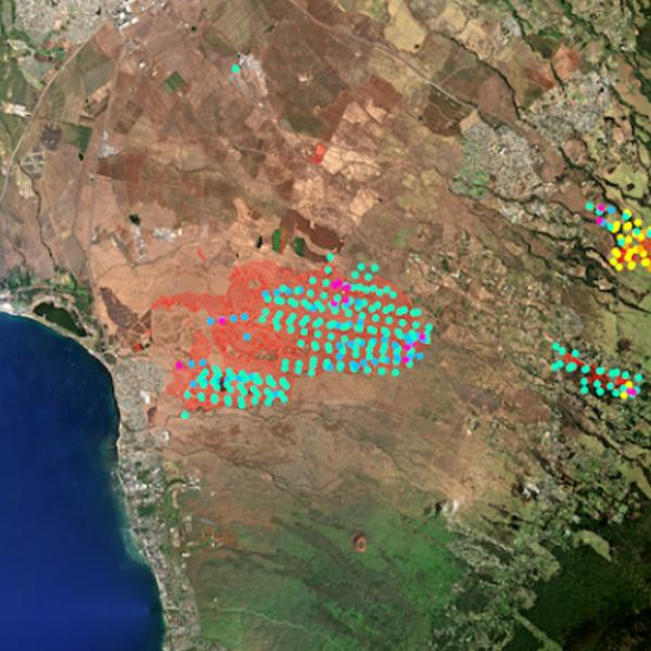
Some land uses can cause risks to communities and the environment, such as heat islands in urban areas, poor air quality from emissions, and disruption of natural wildlife habitats. Satellite images track these risks and provide insight into how terrain evolves over time. While images taken from orbit cannot always tell the intended use of a piece of land on their own, NASA also curates archives of socioeconomic data, providing a comprehensive picture of how humans are managing Earth’s land masses.
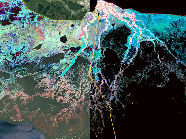
Our data products useful to the study of land cover and land use include maps of croplands and urban areas, land cover classification surveys, and development threat indexes. Some datasets cover a specific region, while others cover the entire land mass of Earth. This information helps researchers and policymakers tackle challenges related to land cover and land use in an all-encompassing, data-driven way.
Learn How to Use Land Use/Land Cover Data


Join Our Community of NASA Data Users
While NASA data are openly available without restriction, an Earthdata Login is required to download data and to use some tools with full functionality.
Learn About the Benefits of Earthdata LoginFrequently Asked Questions
Earthdata Forum
Our online forum provides a space for users to browse thousands of FAQs about research needs, data, and data applications. You can also submit new questions for our experts to answer.
Submit Questions to Earthdata Forumand View Expert Responses