Access a range of datasets and data tools to further your landslides research.
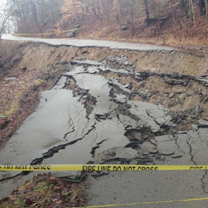
Most often affecting mountainous or hilly terrain, landslides occur when a large mass of dirt, rock, mud, and other materials are suddenly pulled downward by the force of gravity. These events can be disastrous for nearby communities, destroying property and infrastructure as well as resulting in loss of life.
NASA’s Earth-observing instruments collect a wide range of data about landslides to better understand the complex interaction of events that cause them. Landslides usually occur because of changes in the land surface that result in material sliding down a sloped area. The landslide may be initiated by natural causes, such as rainfall, snowmelt, earthquakes, or volcanic activity, or human causes, such as mining and construction.
Our data provide information about past landslides, including within NASA's open global landslide inventory, as well as information about erosion and fluvial processes in sloped areas to help identify and develop warning systems for communities that may be at risk.
Learn How to Use Landslides Data

Join Our Community of NASA Data Users
While NASA data are openly available without restriction, an Earthdata Login is required to download data and to use some tools with full functionality.
Learn About the Benefits of Earthdata LoginFrequently Asked Questions
Earthdata Forum
Our online forum provides a space for users to browse thousands of FAQs about research needs, data, and data applications. You can also submit new questions for our experts to answer.
Submit Questions to Earthdata Forumand View Expert Responses
