Access a range of datasets and data tools to further your land management research.
In a broad sense, land management is the monitoring of land cover and use over time, observing its behavior, changes, or issues, and responding to those things with trackable plans of action to achieve goals. For example, cropland may be methodically expanded over time by planners to feed a growing population of people while also carefully preserving nearby critical habitats for animals. Land management can involve employing, preventing, and stopping wildfire to care for land and how it is used. Or it can cross over into preventing illegal logging, deforestation, and the theft of other natural resources. The topic touches on many other subjects including ecology, plant and creature variation in areas, land ownership and boundaries, and human use of land.
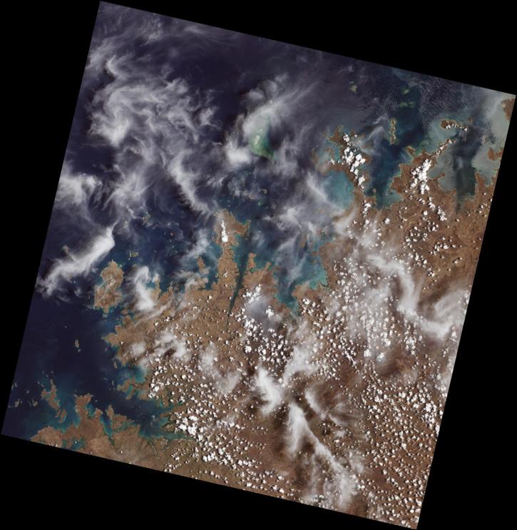
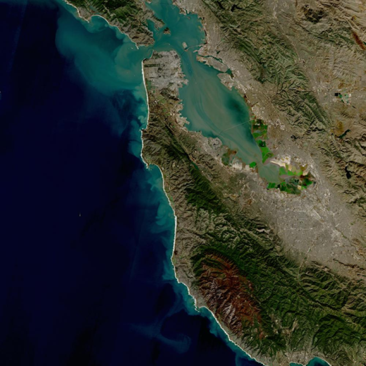
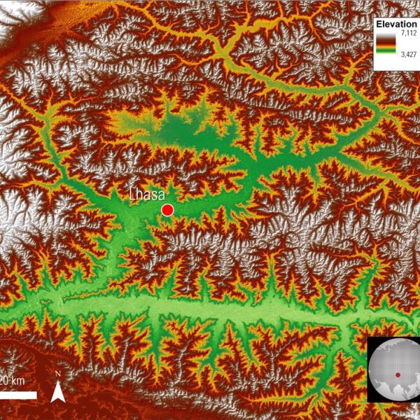
NASA has a large number of land datasets researchers, technical professionals, and decision-makers can use to assess and understand what's literally happening on the ground. These data can range from satellite scans of Earth's vegetation using the Moderate Resolution Imaging Spectroradiometer (MODIS) to snow depth data measured by a volunteer citizen scientist in a mountainous community. Individually and combined, NASA's land management data can provide users with the details they need to accurately understand the current state of land and make the best decisions in response to its condition.
Learn How to Use Land Management Data


Join Our Community of NASA Data Users
While NASA data are openly available without restriction, an Earthdata Login is required to download data and to use some tools with full functionality.
Learn About the Benefits of Earthdata LoginFrequently Asked Questions
Earthdata Forum
Our online forum provides a space for users to browse thousands of FAQs about research needs, data, and data applications. You can also submit new questions for our experts to answer.
Submit Questions to Earthdata Forumand View Expert Responses