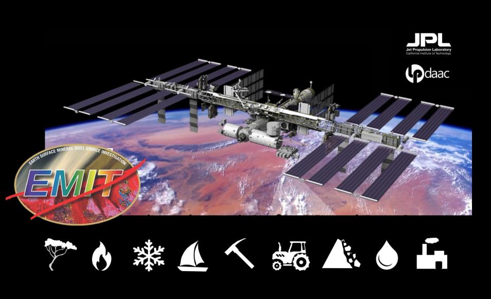
NASA's Earth Surface Mineral Dust Source Investigation (EMIT) imaging spectrometer installed on the International Space Station measures the spectrum of light ranging from visible to shortwave infrared (VSWIR). These observations identify the distinct spectral signatures, or fingerprints, of materials present and can be applied across many scientific domains to map things like mineral types, vegetation species and health, snow grain size, water quality, dust, and greenhouse gases.
The EMIT mission has embraced Open Science, and the entire science data system is open-source. This enables intercomparison and transportability between systems. NASA's Land Processes Distributed Active Archive Center (LP DAAC) archives and distributes EMIT products. This presentation provides an overview of EMIT data products and data learning resources that are available from LP DAAC.
