Content from all Earth science data sites are migrating into this site from now until end of 2026. Not all NASA Earth science data will appear across the site until then. Thank you for your patience as we make this transition.
Read about the Web Unification Project
Rain Storms News
Articles, resources, and announcements from Rain Storms.
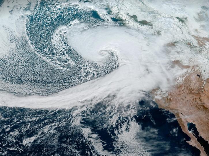
Image captured on Nov 19, 2024, at 3:20 p.m., EDT [20:20 UTC], by the Advanced Baseline Imager (ABI) instrument aboard the GOES-West platform.
Worldview Image of the Week
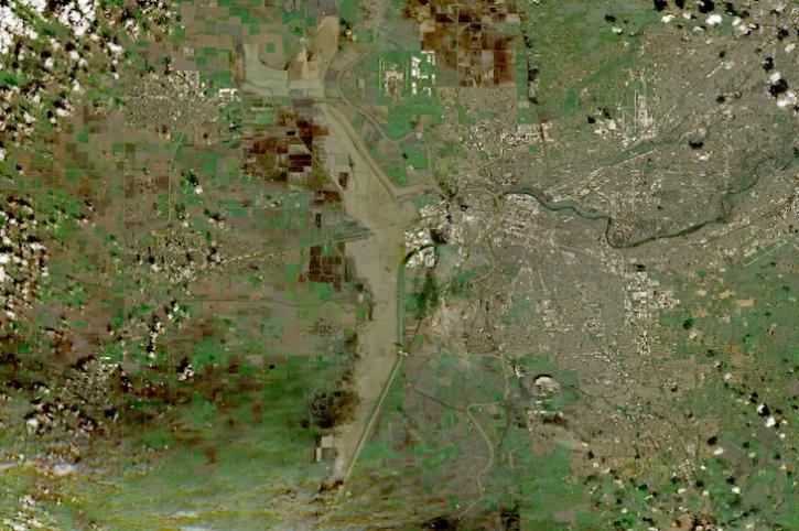
Image captured on Feb 18, 2024, by the MSI instrument aboard ESA's Sentinel 2B satellite.
Worldview Image of the Week
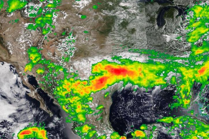
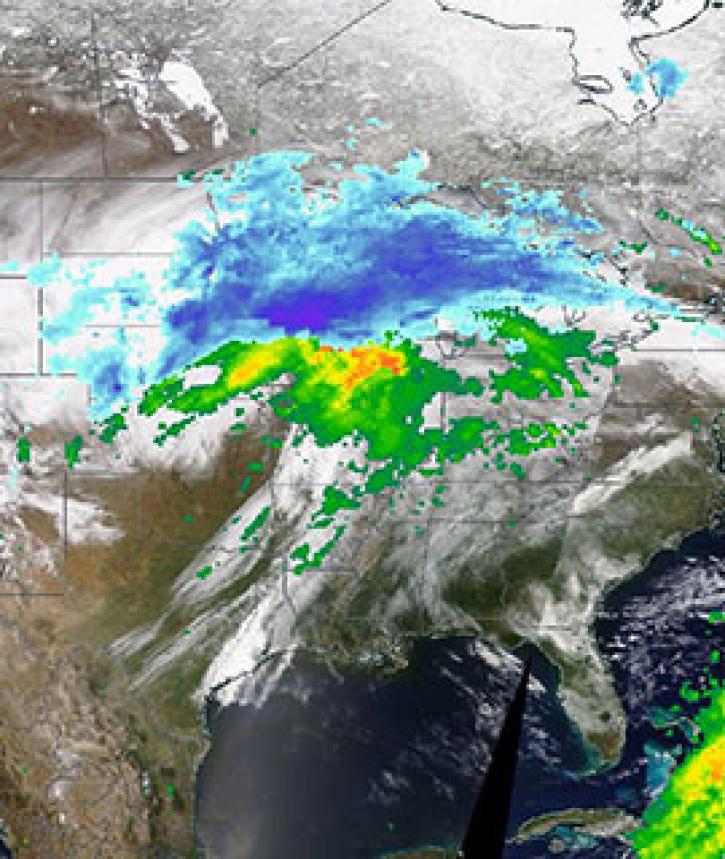
Base image captured Jan 31, 2024, by the VIIRS instrument aboard the joint NASA/NOAA NOAA-20 satellite, overlaid with IMERG Precipitation Rate.
Worldview Image of the Week
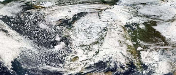
Image captured on Nov 2, 2023, by the MODIS instrument aboard NASA's Aqua satellite.
Worldview Image of the Week
Image captured on Aug 22, 2022, by the VIIRS instrument aboard the joint NASA/NOAA NOAA-20 satellite.
Worldview Image of the Week
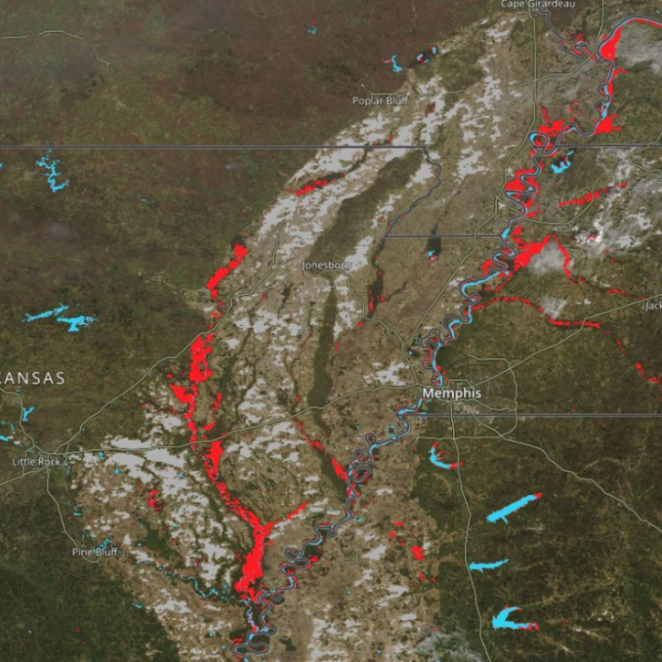
New Near Real-Time (NRT) Global Flood Mapping product from LANCE will continue production of data critical for detecting floods around the globe.
Feature Article
Data from NASA’s GHRC DAAC helps scientists like Dr. Anna Wilson develop accurate representations of atmospheric rivers to increase forecast accuracy and improve weather model outputs.
Data User Story
Image captured on 11 April 2019, by the MODIS instrument, aboard the Terra satellite and overlaid with IMERG Rain and Snow rates.
Worldview Image of the Week
