Content from all Earth science data sites are migrating into this site from now until end of 2026. Not all NASA Earth science data will appear across the site until then. Thank you for your patience as we make this transition.
Read about the Web Unification Project
Quick Filters
Join us to learn about NASA's Land Atmosphere Near real-time Capability for EOS (LANCE) system and available data. During this webinar we will describe the difference between NRT data and standard quality data and show you how to discover and access LANCE NRT data.
Webinar
Join us as we show you how to discover and download atmospheric data at NASA's Atmospheric Science Data Center (ASDC) in order to showcase your research and enable visualizations of your data and analysis.
Webinar
Join NASA's Physical Oceanography Distributed Active Archive Center (PO.DAAC) to discuss what it means for NASA's physical oceanography data, services, and resources to move to the cloud and how these changes will impact the data user.
Webinar
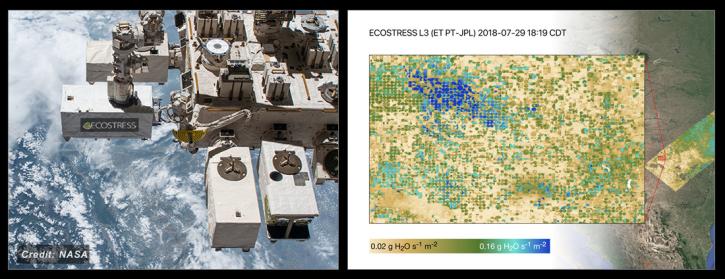
NASA's ECOSTRESS Mission studies how plants use water by measuring their temperature from space. Join us to learn more about ECOSTRESS mission measurements, data and tools!
Webinar
NASA's Ocean Biology Distributed Active Archive Center (OB.DAAC) manages, archives and distributes nearly 40 years of ocean color, sea surface temperature, and sea surface salinity data. Join us to learn more about NASA ocean color data, services and tools!
Webinar
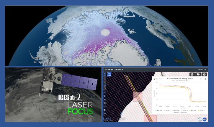
During this webinar we will introduce the ICESat-2 mission and show you how to explore, access and customize ICESat-2 data with the advanced discovery and visualization OpenAltimetry application, directly filter and access ICESat-2 data from an NSIDC DAAC data set page and subset, reformat and analyze ICESat-2 data using Python-based resources.
Webinar
Join us for the 4th Gregory G. Leptoukh Online Giovanni Workshop, hosted by NASA's Goddard Earth Sciences Data and Information Services Center (GES DISC). The theme for this workshop is “Enhancing Knowledge with Giovanni” and will showcase different ways Giovanni is used to enhance scientific knowledge.
Webinar
During this webinar we will provide an overview of common geospatial operations in R including: how to import data files into R, overlay layers, reduce spatial extent, select and reclassify values, and make a map. Join us to learn more!
Webinar


