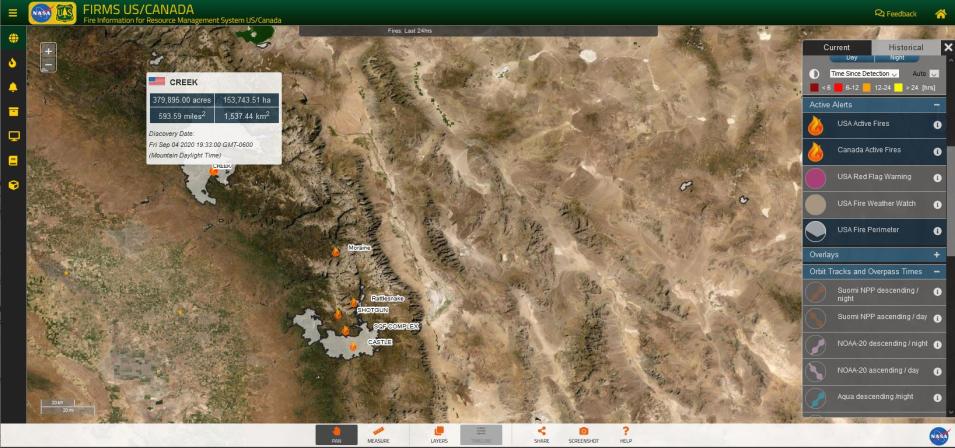
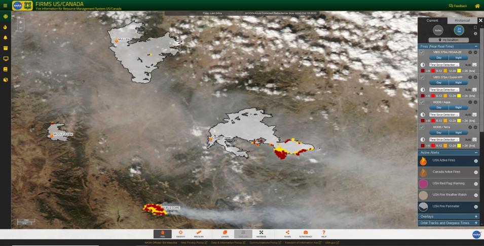
A screenshot of the FIRMS US/Canada fire map showing active fire detections (in red, orange, and yellow) depicted as time since detection and fire affected areas (as grey polygons) from the NIFS USA Fire Perimeter layer overlaid on MODIS/Aqua Corrected Reflectance imagery from 15 October 2020.
The significance of this NASA-Forest Service partnership goes beyond the creation of FIRMS US/Canada. It establishes a single, authoritative source of near real-time fire mapping, visualization, and geospatial data products and information for the United States and Canada jointly supported and enabled by both agencies. This enhanced cooperation will boost the availability of selected contextual geospatial data to increase the utility of near real-time fire geospatial data products, as well as increase opportunities, under the auspices of LANCE, to evaluate and integrate additional sources of NASA, NOAA and international space agency satellite data of value to the user community.
"NASA values our ongoing partnership with the Forest Service that is improving our ability to use near real-time satellite data to respond to forest fires,” said Robert Wolfe, chief of the Terrestrial Information Systems Laboratory at Goddard. “This joint effort to modernize GTAC’s Active Fire Mapping functions by leveraging NASA’s FIRMS both enhances our global FIRMS framework and focuses it on the needs of US and Canadian fire fighters.”
Deb Oakeson, director of the Forest Service’s GTAC, expressed similar appreciation for the NASA-Forest Service partnership.
“With our colleagues at Goddard, we are excited to complete the first phase of the latest effort to ensure state-of-the-art active wildfire mapping,” Oakeson said. “The new version of FIRMS US/Canada will allow us to continue to provide near real-time capabilities for the location, extent, and intensity of wildfire activity, which is crucial to strategic wildfire planning and response,” she added.
Following the launch of FIRMS US/Canada, the Forest Service has announced that it will phase out its legacy fire mapping initiative, the Active Fire Mapping Program, in about a year.
“The period of overlap will provide a gradual sunset for the legacy platform,” said Brad Quayle, a remote sensing and GIS specialist who leads active fire mapping for GTAC. “Wildfire agencies, decision support applications, and the public are ensured continual access to the legacy platform as they transition to FIRMS US/Canada.”


