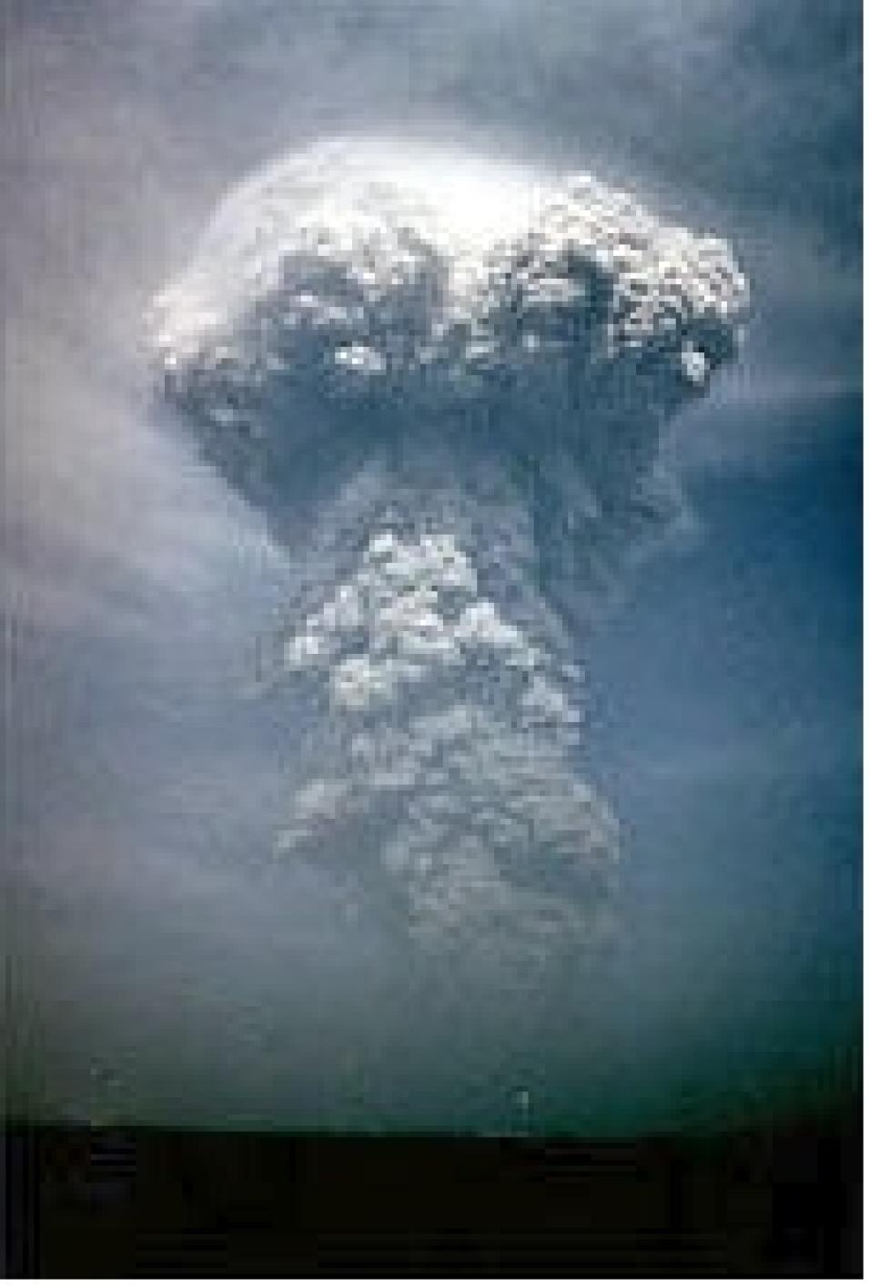
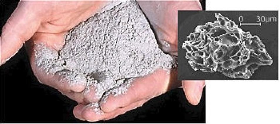
By comparing the climate simulations from the Pinatubo eruption, with and without aerosols, the researchers found that the climate model calculated a general cooling of the global troposphere, but yielded a clear winter warming pattern of surface air temperature over Northern Hemisphere continents. The temperature of the tropical lower stratosphere increased by 4 Kelvin (4°C) because of aerosol absorption of terrestrial longwave and solar near-infrared radiation. The model demonstrated that the direct radiative effect of volcanic aerosols causes general stratospheric heating and tropospheric cooling, with a tropospheric warming pattern in the winter.
"The modeled temperature change is consistent with the temperature anomalies observed after the eruption," Stenchikov says. "The pattern of winter warming following the volcanic eruption is practically identical to a pattern of winter surface temperature change caused by global warming. It shows that volcanic aerosols force fundamental climate mechanisms that play an important role in the global change process."
This temperature pattern is consistent with the existence of a strong phase of the Arctic Oscillation, a natural pattern of circulation in which atmospheric pressure at polar and middle latitudes fluctuates, bringing higher-than-normal pressure over the polar region and lower-than-normal pressure at about 45 degrees north latitude. It is forced by the aerosol radiative effect, and circulation in winter is stronger than the aerosol radiative cooling that dominates in summer.
NASA's Upper Atmosphere Research Satellite (UARS) enables study of the chemistry, dynamics and energy balance in the atmosphere layers above the troposphere. UARS provides near-global (-80 degrees to +80 degrees) measurements of the atmospheres' internal structure as well as measurements of external influences acting on the upper atmosphere. These measurements are made simultaneously in a coordinated manner. The UARS dataset spans from September 18, 1991 through August 31, 1999. UARS data are available from GES DISC.
SAGE II, launched in October 1984, uses a technique called solar occultation to measure attenuated solar radiation and to determine the vertical distribution of stratospheric aerosols, ozone, nitrogen dioxide, and water vapor around the globe. SAGE II data are available from ASDC.
Multi-Channel Sea Surface Temperature (MCSST) data are derived from measurements of emitted and reflected radiance by the five-channel Advanced Very High Resolution Radiometers (AVHRR) onboard the NOAA -7, -9. -11 and -14 polar orbiting satellites. MCSST data currently extend from November 11, 1981 through June 7, 2000, and are updated as new data become available. The sea surface temperature data sets may be ordered from PO.DAAC.
Man-made, or "anthropogenic" emissions can make the consequences of volcanic eruptions on the global climate system more severe, Stenchikov says. For instance, chlorofluorocarbons (CFCs) in the atmosphere start a chain of chemical reactions on aerosol surfaces that destroy ozone molecules in the mid-latitude stratosphere, intensifying observed stratospheric ozone depletion.
"While we have no observations, the 1963 Agung eruption on the island of Bali probably did not deplete ozone as there was little atmospheric chlorine in the stratosphere. In 1991 after the Pinatubo eruption, when the amount of CFCs in the stratosphere increased, the ozone content in the mid-latitudes decreased by 5 percent to 8 percent, affecting highly populated regions," says Stenchikov.
NASA and the National Science Foundation have funded Robock and Stenchikov to study the Pinatubo eruption in more detail, and to conduct another model comparison with the volcanic aerosol data set. They plan to combine SAGE II data with available lidar and satellite data from various DAACs to improve their existing data set.
By understanding the impact of large volcanic eruptions on Earth's climate system in more detail, perhaps scientists will be in a better position to suggest measures to lessen their effects on people and natural resources.
References
Kirchner, I., G. Stenchikov, H.-F. Graf, A. Robock. J. Antuna, Climate model simulation of winter warming and summer cooling following the 1991 Mount Pinatubo volcanic eruption, J. Geophys. Res., 104, 19,039-19,055, 1999.
Stenchikov, Georgiy L., Ingo Kirchner, Alan Robock, Hans-F. Graf, Juan Carlos Antuna, R. G. Grainger, Alyn Lambert, and Larry Thomason, 1998: Radiative Forcing from the 1991 Mount Pinatubo volcanic eruption. J. Geophys Res.103(D12), pp. 13837-13857.
For more information
NASA Atmospheric Science Data Center (ASDC)
NASA Goddard Earth Sciences Data and Information Services Center (GES DISC)
NASA Physical Oceanography Distributed Active Archive Center (PO.DAAC)
| About the remote sensing data used |
| Satellite |
Stratospheric Aerosol and Gas Experiment II (SAGE II) |
Upper Atmosphere Research Satellite (UARS) |
NOAA -7, -9, -11, and -14 polar orbiting satellites |
| Sensor |
|
|
Advanced Very High Resolution Radiometers (AVHRR) |
| Parameter |
volcanic aerosols and climate change |
volcanic aerosols and climate change |
volcanic aerosols and climate change |
| DAAC |
NASA Atmospheric Science Data Center (ASDC) |
NASA Goddard Earth Sciences Data and Information Services Center (GES DISC) |
NASA Physical Oceanography Distributed Active Archive Center (PO.DAAC) |

