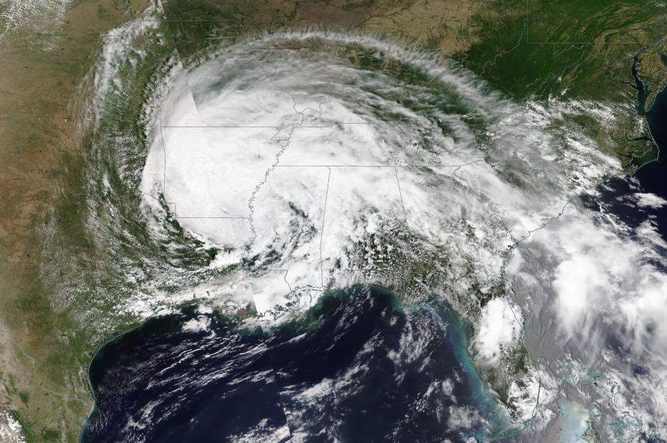
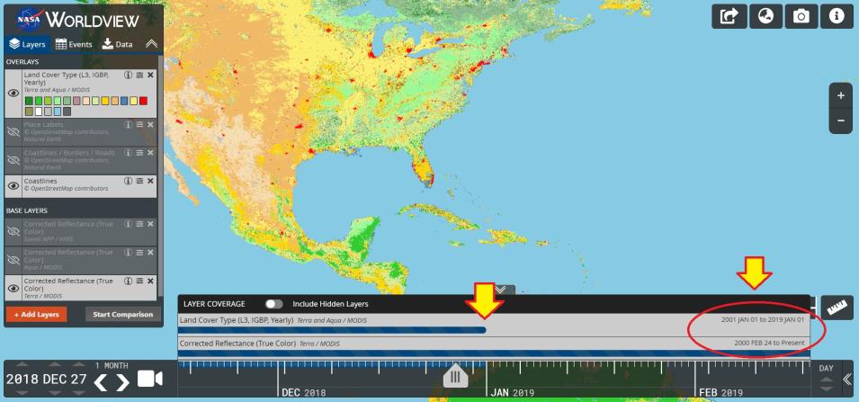
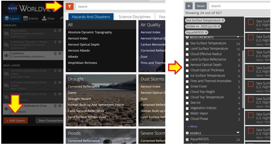
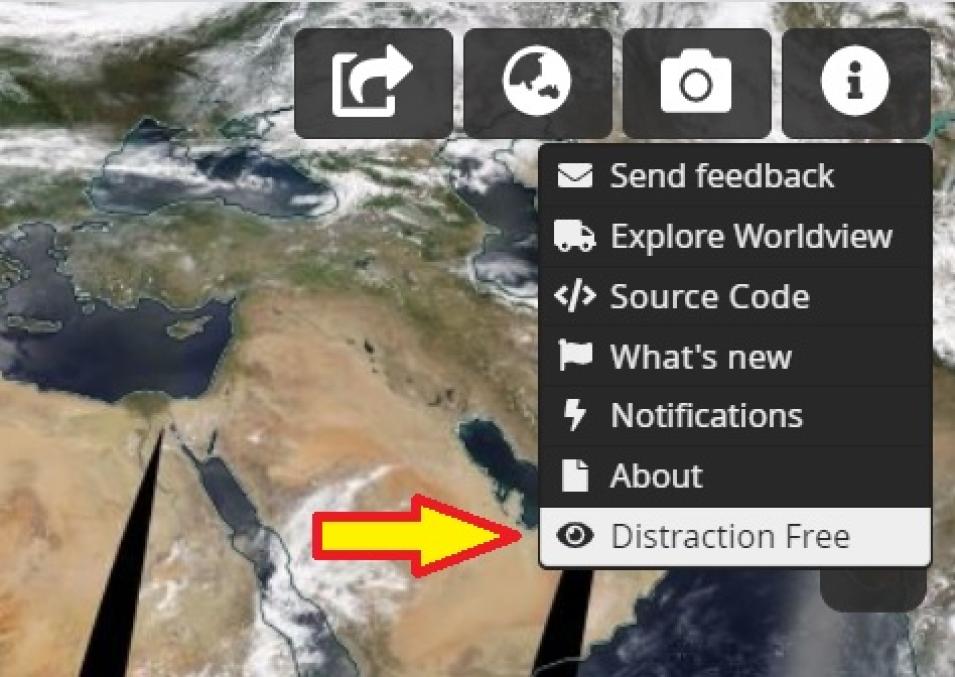
New imagery from the NOAA-20 satellite, easier ways to filter and discover available imagery, and the ability to have a distraction-free view of imagery without menus, buttons, or timelines are the most recent enhancements to NASA's Worldview interactive data visualization application. These new additions complement features that went live earlier in 2020, including enhancements to the Layer Picker and new ways to work with layers that include classification types (such as the Land Cover Type layer).
A key addition is seven new Visible Infrared Imaging Radiometer Suite (VIIRS) imagery layers from the NOAA-20 satellite: three Corrected Reflectance daily base map layers (True-Color, false-color with Bands M3-I3-M11, and false-color with Bands M11-I2-I1), two Brightness Temperature (Day and Night) layers, and two Fire and Thermal Anomalies (Day and Night) layers.
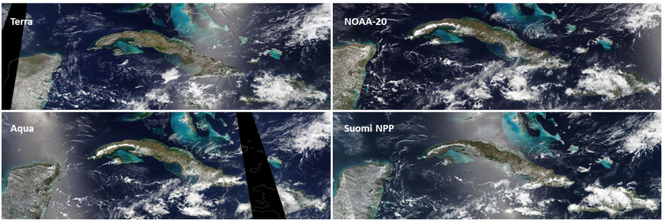
The addition of VIIRS imagery from NOAA-20 provides not just another source for Worldview imagery, but also another time for which imagery is acquired – NOAA-20 crosses the equator 50 minutes prior to the joint NASA/NOAA Suomi National Polar-orbiting Partnership (Suomi NPP) satellite. This means that Worldview users now have access to four sets of Corrected Reflectance and Fires and Thermal Anomalies (Day and Night) layers: Moderate Resolution Imaging Spectroradiometer (MODIS) imagery from NASA’s Terra and Aqua satellites and VIIRS imagery from the Suomi NPP and NOAA-20 satellites. Having similar imagery from four separate satellites ensures continuity of data from older spacecraft (such as Terra and Aqua) and newer spacecraft (such as Suomi NPP and NOAA-20), which is critical when older missions retire.
