We are in the process of migrating all NASA Earth science data sites into Earthdata from now until end of 2026. Not all NASA Earth science data and resources will appear here until then. Thank you for your patience as we make this transition.Read about the Web Unification Project
Webinars
Our online webinars, trainings, and workshops feature experts in various disciplines who share their knowledge in a particular subject area, from data in the cloud to specific data tools.
The USGS EROS User Services team is offering an hour-long webinar to share the data, tools, and services available from the Advanced Spaceborne Thermal Emission and Reflection Radiometer (ASTER) instrument aboard NASA’s Terra satellite.
Join the NASA Satellite Needs Working Group Implementation Team (NSITE) for a virtual workshop showcasing the Harmonized Landsat and Sentinel-2 (HLS) Solution.
May 12-13, 2026,11:00 a.m. - 6:00 p.m. EDT(1500-2200 UTC)
This webinar provides an overview of the TEMPO mission and its data products and shows how to discover and access TEMPO data products using NASA's Earthdata Search.
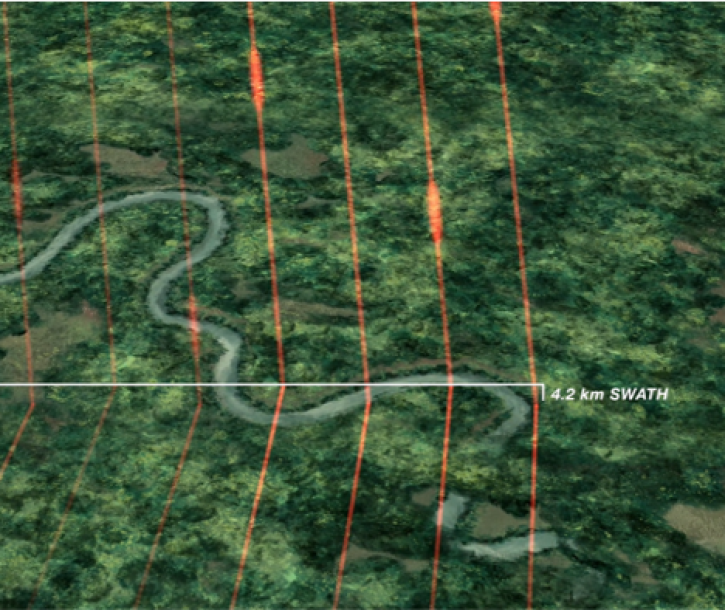
Join representatives from NASA's Land Processes Distributed Active Archive Center (LP DAAC) to explore NASA's Earth Surface Mineral Dust Source Investigation (EMIT) data resources.
Learn more about NASA's Application for Extracting and Exploring Analysis Ready Samples (AppEEARS). This webinar showcases the system's capabilities and highlights learning resources to help simplify data access workflows using AppEEARS.
Join NASA scientists and other decision-makers on Thursday, April 11, to explore the many ways NASA Earth science data are helping us to better understand and protect Earth—and how you can make a positive difference in improving life on our planet.
Join members of NASA's Ocean Biology Distributed Active Archive Center (OB.DAAC) to learn about data from the Plankton, Aerosol, Cloud, ocean Ecosystem (PACE) mission and how to discover, access, and use PACE data.
Learn how to discover, access, and use Surface Water and Ocean Topography (SWOT) mission data and how these data can lead to new, innovative science and applications in the world of water.
Join us Tuesday, Mar 5, 2024, from 4-5 p.m., ET, to learn how to get started with NASA's Global Ecosystem Dynamics Investigation (GEDI) data in the cloud.
This webinar demonstrated how to use the Openscapes Earthdata Cloud Cookbook—a compilation of open-source tutorials, workflows, libraries, and cheatsheets that help users find, access, and work with Earth science data.