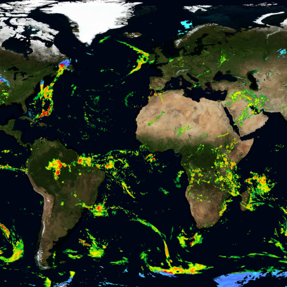
With Earth Day coming up on April 22, the Global Precipitation Measurement (GPM) mission team is hosting a free webinar to describe how and why NASA missions—and the data from these missions—can help us better understand and protect our home planet's climate and ecosystems. The webinar also will highlight the ways various stakeholders are making these data available and accessible to decision-makers as well as how you can get involved in efforts to improve life on Earth.
This webinar is part of the ongoing GPM 10-in-10 Webinar Series celebrating the 10-year anniversary of the launch of the joint NASA/JAXA (Japan Aerospace Exploration Agency) GPM Core Observatory on February 27, 2014. These webinars are aimed at anyone interested in science, technology, engineering, and mathematics and how these disciplines can be used to better understand and protect our home planet. Each webinar features guests exploring a different theme and how it relates to the GPM mission.
The GPM mission is an international network of satellites that provide next-generation global observations of rain and snow. The GPM concept centers on the deployment of a Core Observatory satellite carrying an advanced radar/radiometer system to measure precipitation from space and serve as a reference standard to unify precipitation measurements from a constellation of research and operational satellites.
Through improved measurements of precipitation globally, the GPM mission is helping to advance our understanding of Earth's water and energy cycles, improve forecasting of extreme events that cause natural hazards and disasters, and extend current capabilities in using accurate and timely information of precipitation to directly benefit society.
