Content from all Earth science data sites are migrating into this site from now until end of 2026. Not all NASA Earth science data will appear across the site until then. Thank you for your patience as we make this transition.Read about the Web Unification Project
Webinars
Our online seminars and workshops feature experts in various disciplines who share their knowledge in a particular subject area, from data in the cloud to specific data tools.
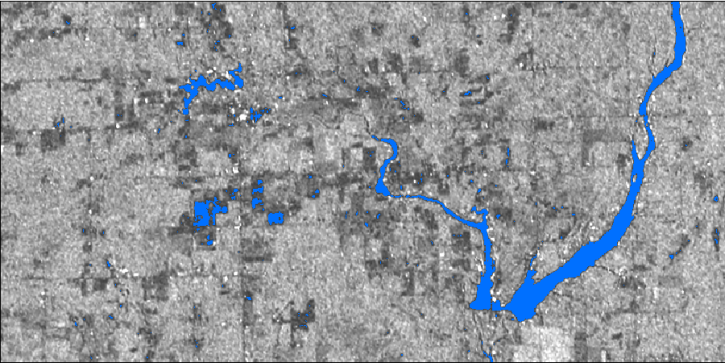
In this webinar, we will demonstrate approaches for using SAR datasets in GIS environments to detect landscape change and map flooding events with a focus on Sentinel-1 datasets.
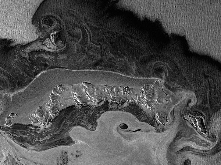
This webinar will provide a basic introduction to SAR data collection, the datasets that are available from NASA's Alaska Satellite Facility Distributed Active Archive Center and the processing required to extract useful information from the data.
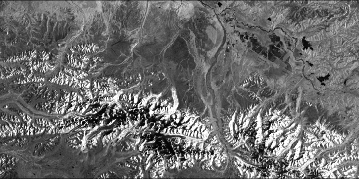
In part 1 of this two-part webinar, learn about the synthetic aperture radar (SAR) datasets available from NASA and the processing required to extract useful information from the data.
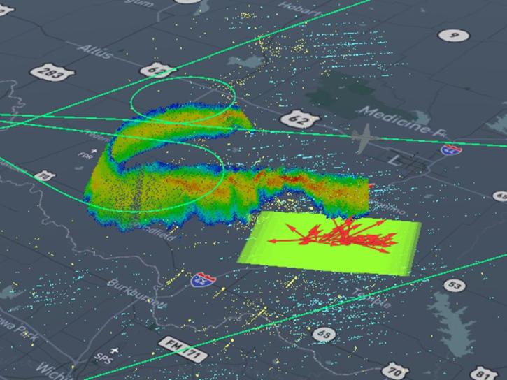
This presentation will discuss NASA's Global Hydrology Resource Center Distributed Active Archive Center (GHRC DAAC) activities to transition the user experience to the cloud, how these efforts are being applied (e.g., tools, visualizations, and analysis), and how this supports users.
As of 6/23/20 this webinar is full. However, the event will be recorded and made available online to our NASA Earthdata YouTube channel and on the NASA Earthdata website. Additional live sessions will be held in the weeks to come.
This webinar will provide a basic introduction to SAR data collection, the datasets that are available from NASA's Alaska Satellite Facility Distributed Active Archive Center and the processing required to extract useful information from the data.
Join us for an introduction to NASA’s Global Ecosystems Dynamics Investigation (GEDI) datasets and to learn how to use LP DAAC's web service, data prep script, and Jupyter Notebook Python tutorial series.