We are in the process of migrating all NASA Earth science data sites into Earthdata from now until end of 2026. Not all NASA Earth science data and resources will appear here until then. Thank you for your patience as we make this transition.
Read about the Web Unification Project
Webinars
Our online webinars, trainings, and workshops feature experts in various disciplines who share their knowledge in a particular subject area, from data in the cloud to specific data tools.
Featured Webinars

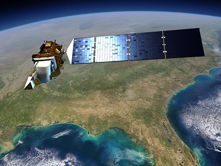
This NASA web-based tool enables near-real time monitoring of inland and coastal water quality across the U.S. and parts of Africa and South America.
July 1, 2026,2:00-3:00 p.m. EDT(1800-1900 UTC)

Learn how the Fire Information for Resource Management System (FIRMS) uses timely composite imagery to identify fire fronts, burned areas, and smoke.
July 16, 2026,2:00-3:30 p.m. EDT(1800-1930 UTC)

Diane Fritz, an associate scientist at NSIDC DAAC, demonstrates how to use the harmony-py Python library to customize data requests from the NASA Earthdata Cloud.
June 2, 2026,3:00-3:30 p.m. EDT(1900-1930 UTC)
Filters

Join us for a tour of enhanced data product landing pages, new user resources, data visualization tools, and a Jupyter Notebook tutorial to access cryospheric data at NSIDC DAAC.
Aug. 24, 2022,2:00-3:15 p.m. EDT(1800-1915 UTC)
Join us for a tour of enhanced data product landing pages, new user resources, data visualization tools, and a Jupyter Notebook tutorial to access cryospheric data at NASA's National Snow and Ice Data Center DAAC.
Aug. 24, 2022,2:00-3:15 p.m. EDT(1800-1915 UTC)
Participants will learn how to discover and access physical oceanography data hosted in the Earthdata Cloud and apply AWS cloud computing to analyze global sea level rise.
July 27, 2022,2:00 p.m. EDT(1800 UTC)

An introduction to GEDI Level 3 and Level 4 data products, learn how to discover, access, visualize, and analyze the data.
June 22, 2022,2:00-3:15 p.m. EDT(1800-1915 UTC)

This TechTalk focuses on five computational challenges for rapid assessment of post-disaster areas using observation data.
June 15, 2022,1:00-2:00 p.m. EDT(1700-1800 UTC)
View Part 1 of a workshop presented by LP DAAC to the University of California.
May 20, 2022,11:00 a.m. - 12:00 p.m. EDT(1500-1600 UTC)
View Part 2 of a workshop presented by LP DAAC to the University of California.
May 20, 2022,11:00 a.m. - 1:00 p.m. EDT(1500-1700 UTC)
Join us for an introduction to HLS data, services, and tools.
May 19, 2022,2:00-3:30 p.m. EDT(1800-1930 UTC)
SHOWING 8 OF 205