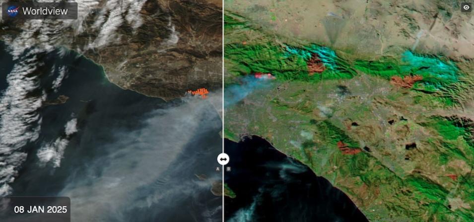
NASA Worldview has been used for time-critical applications such as wildfire monitoring and management, science support through easy-to-access satellite imagery archives, disaster and natural event imagery in the media, and education and outreach.
This webinar will not only highlight the key features and functionalities of Worldview, but also will showcase some of the new features and improvements that have been added over the past few years. Examples of these new features include:
- Support for new types of visualized data products, like higher resolution, 30-meter imagery from the Harmonized Landsat and Sentinel-2 (HLS) project, surface water extent, and vegetation disturbance layers from the NASA Jet Propulsion Laboratory (JPL) Observational Products for End-Users from Remote Sensing Analysis (OPERA) project.
- Display of geostationary imagery available every 10 minutes from the GOES-East, GOES-West, and Himawari-9 satellites to view events unfold as they occur.
- Availability of air pollution observations over North America from the Tropospheric Emissions: Monitoring of Pollution (TEMPO) geostationary data visualizations every 6 to 30 minutes.
- Integration of hourly aerosol information from the global Aerosol Robotic Network (AERONET) which enable users to compare its ground-based stations with satellite measurements.
- Ability to query vector fire data from the Moderate Resolution Imaging Spectroradiometer (MODIS) and Visible Infrared Imaging Radiometer Suite (VIIRS) Fire and Thermal Anomalies data products to obtain information such as acquisition date and time, location coordinates, brightness temperature, Fire Radiative Power, and detection confidence.
In addition to being able to view over 1,000 visualized data products, NASA Worldview also allows users to download the underlying data via Earthdata Search. The webinar will wrap up with an overview of upcoming planned enhancements.
