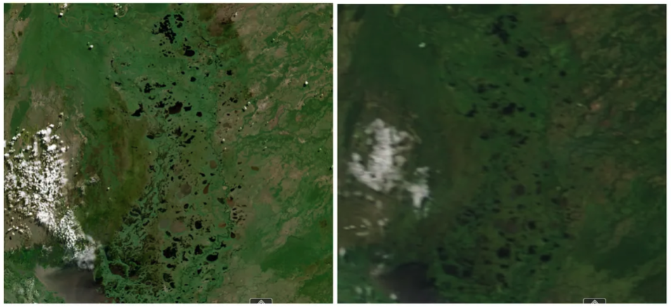
We are all aware that the planet is orbited by a wide array of Earth observation satellites, each transmitting back specialized data used in Earth science research. As valuable as these individual data streams are, when data scientists effectively combine two or more of these streams into a single data set, the value can increase even more. This is the purpose of the Harmonized Landsat Sentinel-2 (HLS) project led by IMPACT.
Current publicly available land surface observation data requires the science user community to pick between high resolution data available every couple of weeks or coarser resolution data available every day. By harmonizing observations from platforms with similar instrument characteristics, the HLS project provides a unique opportunity for the science community to get plot-scale (30-meter resolution) observations every 2–4 days. HLS data products should greatly improve upon current capabilities for applied science initiatives related to natural disasters, land cover land use change, and seasonal vegetation health.
At a high level, the HLS project exploits the similarity between the United States Geological Survey Landsat-8 sensor and the European Space Agency Sentinel-2 satellite sensor. The HLS project takes input data from Landsat-8 and Sentinel-2 to generate a harmonized analysis ready data product that improves the temporal resolution of these sensors when used independently. It reduces the subtle variation within each data stream and between the two data streams to provide high quality and high temporal frequency Earth surface measurement at moderate spatial resolution.
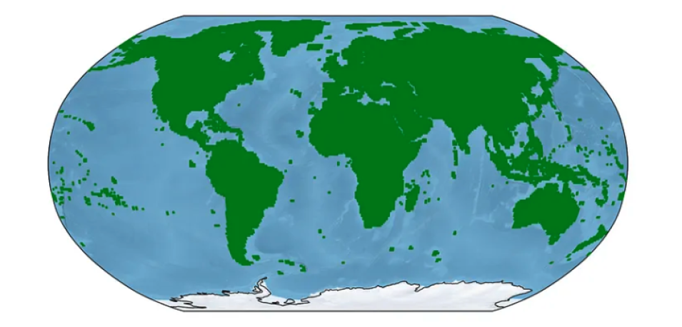
The HLS project produces surface reflectance observations from 0.4–2.3 micron spectral range for both the L30 and S30 data products. In addition, the L30 data product includes the thermal bands available on Landsat-8 reprojected onto the 30 meter HLS grid. What this means is that the HLS project provides high radiometric quality, high temporal frequency and coregistered HLS data in an easy-to-use format. In other words, it provides Analysis Ready Data (ARD), which in general eliminates the need for users to perform demanding data preprocessing and thus allows more people to use the data and to focus on their scientific investigations. Its high quality, time series and global scale combine to make the HLS data valuable for the monitoring of crops, forests, pasture, and wetlands.

