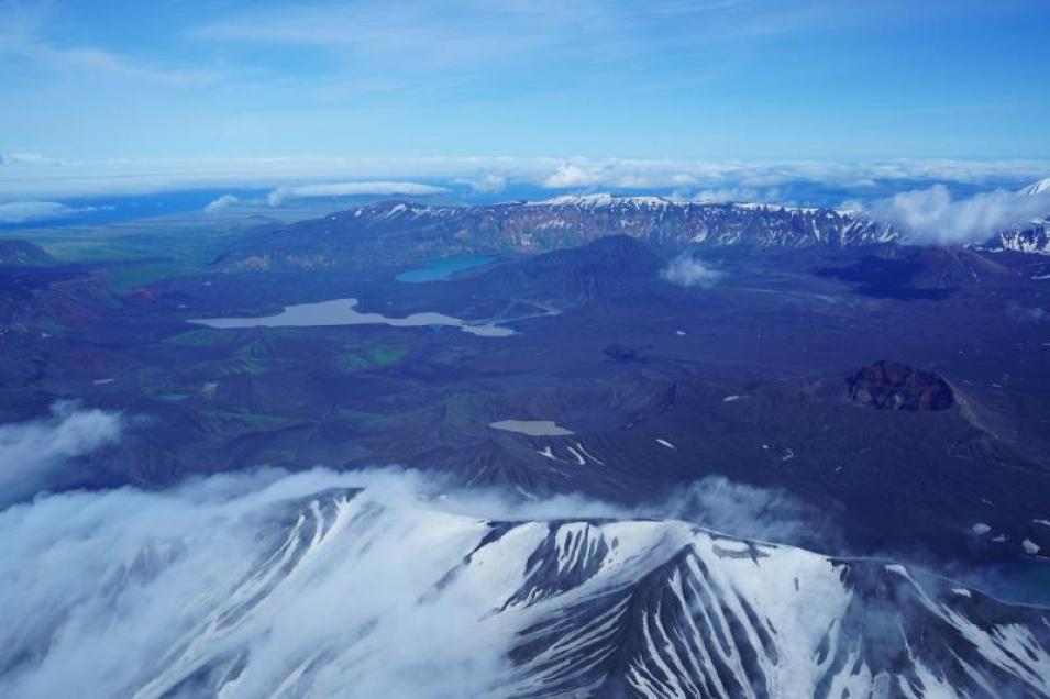
A remote 900 miles from Anchorage, AK, and deep in the treacherous Bering Sea sits the Okmok volcano. Okmok last erupted in 2008, sending ash into the sky and airspace used by thousands of civilian flights between North America and Asia. Okmok is one of many active volcanoes along what's known as the Aleutian Islands Arc. Given the Arc's activity and proximity to Alaska, Canada, and important transportation routes, scientists and officials are keenly interested in keeping a close eye on the volcanoes. But the Arc's isolated and dangerous location makes these volcanoes difficult to reach and monitor with typical ground-based global positioning system (GPS), seismic, and other equipment
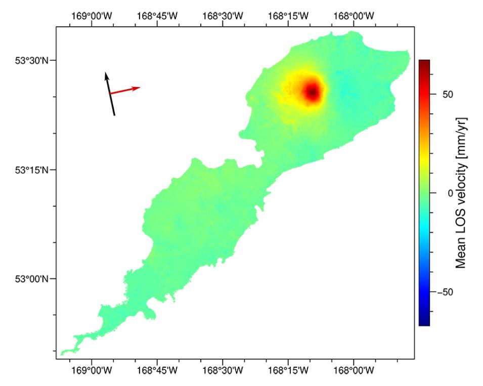
To help close this technical divide, NASA created an online archive of satellite-based synthetic aperture radar (SAR) scans of active volcanic and earthquake areas around the world that can be used to quickly analyze and determine if and how these areas are changing or deforming. Deformation in a volcano is an indicator of magma movement or pressure changes that could lead to an eruption. For the first time, researchers in a newly published study have successfully used the new archive of SAR scans to systematically measure volcanic deformation across Okmok and other Aleutian volcanoes from 2015 to 2021. This study demonstrates the incredible speed and many benefits of using these analysis-ready data.
Volcanoes in the Cloud
The SAR image archive is called the Advanced Rapid Imaging and Analysis (ARIA) project’s Sentinel-1 Geocoded Unwrapped Interferogram (ARIA-S1-GUNW). The images are derived from data recorded by the ESA (European Space Agency) Sentinel-1 satellite. The archive is part of ARIA's Enabling Cloud-Based InSAR Science for an Exploding NASA InSAR Data Archive project, or colloquially InSAR in the Cloud. The overall work on this NASA-funded project is described in the 2023 Earthdata article, Big Data Meet Open Science.
InSAR stands for interferometric SAR data, which are two SAR images acquired over the same location but at different times that are combined to create an interferogram. Researchers can look at interferograms to precisely measure elevation changes over time across volcanoes and other landforms.
InSAR files are incredibly large and require a lot of computing power to create and process. InSAR in the Cloud does all of the heavy lifting of producing analysis-ready interferograms and making them available through NASA's Distributed Active Archive Centers (DAACs). The project also supplies the DAACs and their users with the utilities for discovering, accessing, and cloud-processing the InSAR data.
InSAR in the Cloud is led by Principal Investigator Dr. David Bekaert at NASA's Jet Propulsion Laboratory (JPL) in Pasadena, CA.
"InSAR in the Cloud now has more than one million products and is one of the largest archives of InSAR products in the world," said Bekaert. "We take care of all the lower level data processing, allowing users to focus more on the science. For the Aleutian Islands study, we provided Level 2 processing of six years of Sentinel-1 satellite data of the area and delivered these data to the Alaska Satellite Facility DAAC (ASF DAAC) in just a matter of weeks."

