Connecting Western Water Managers with NASA Earth Science Data

NASA's Western Water Applications Office (WWAO) gets NASA Earth science data into the hands of Western U.S. water managers.
author-share

Water managers in the Western U.S. face many challenges, including diminishing snowpack, changes in timing and amount of runoff, and falling groundwater levels. With climate change, events such as droughts and floods are becoming both more frequent and more extreme.

NASA is ideally suited to work in partnership with communities, tribes, and government organizations in this vast region to help them deal with these challenges. Along with an archive of openly available hydrologic data acquired from satellite, airborne, and ground-based missions and initiatives, NASA provides the tools and services for working with these data.

These data, tools, and services are part of NASA's Earth Science Data Systems (ESDS) Program, which is charged with ensuring the open, unrestricted availability of these resources. Connecting Western water managers with NASA data through the practical application of these assets is the mission of NASA's Western Water Applications Office (WWAO).

Image
Reduced water levels in Utah's Great Salt Lake are clearly seen in satellite imagery. In June 1985 (left image), heavy rain and snow led to unusually high water levels of 4,210 feet. By July 2022 (right image), a combination of prolonged drought and increased water use had dropped water levels to less than 4,190 feet. June 1985 image acquired by the Thematic Mapper (TM) aboard the Landsat 5 satellite. June 2022 image acquired by the Operational Land Imager (OLI) and OLI-2 aboard the Landsat 8 and 9 satellites. Credit: NASA Earth Observatory and accessed through NASA's Images of Change.

WWAO Overview

WWAO is a NASA Earth Action program based at the agency's Jet Propulsion Laboratory (JPL) in Southern California that is dedicated to the applied use of NASA data and research to deal with water issues in the Western U.S.

"Our mission is to directly benefit water managers by getting NASA capabilities into the hands of the decision makers," says WWAO Director Stephanie Granger.

WWAO focuses on four key areas:

  • Identifying needs in Western water management for information and decision support
  • Co-developing projects tailored to meet these needs and engaging with local water managers from project beginning to end
  • Making connections between water managers, tribes, and communities and NASA science, technology, tools, and data
  • Transitioning water applications and technology into a sustainable state for long-term impact

"We convene water management communities and work with them to identify their gaps and their needs; we don't come in with a solution in mind," Granger says. "Once we understand the problem and where NASA's unique vantage point can add value, we connect the management community to NASA missions and [to] NASA scientists and subject matter experts through co-developed projects and other forums."

Granger observes that when she began her work with the Western water community more than 20 years ago it was unusual for NASA data to be considered as a resource for water management since the agency did not have Earth observation missions with long-term climate data records. This began to change in 1999 with the launch of the Earth Observing System (EOS) satellite missions.

"The duration of the NASA [satellite climate data] record was a concern—especially when compared with stream and river gauges that have data records going back 100 years," Granger says. "We now have more than 20 years of data with the EOS missions and that's the period where we’re seeing significant changes [in the hydrologic cycle] taking place. [The EOS] dataset is extremely valuable. Future missions will continue to add value to this record."

New Missions, New Data, and New Opportunities

Recently launched and upcoming missions are enhancing NASA's historic data records and bringing new water-related data into the NASA archive. Granger specifically points to data from the Surface Water and Ocean Topography (SWOT) and Plankton, Aerosol, Cloud, ocean Ecosystem (PACE) missions and the upcoming NASA/ISRO (Indian Space Research Organisation) Synthetic Aperture Radar (NISAR) mission. Data from these missions are, or will be, openly available through NASA's Earthdata Search.

"There’s a lot of interest in SWOT [data]. For some of our potential watershed health and water quality projects, PACE data can add a lot of value," Granger says. "NISAR is another one. There is a project that we're about to launch in the Rio Grande headwaters that's using SAR estimates of snow properties. While NISAR hasn’t launched yet, the work that this group is doing could have applicability for NISAR."

Other NASA resources used by the WWAO team and their partners include the Land Data Assimilation System (LDAS), data from the Gravity Recovery and Climate Experiment (GRACE) and the Global Precipitation Measurement (GPM) missions, and the Integrated Multi-satellitE Retrievals for GPM (IMERG) combined satellite precipitation product.

Image
NASA Earth science data from numerous missions, initiatives, and instruments are components of WWAO projects supporting Western water needs and challenges. Outer circles indicate the many Western water use cases identified by WWAO through their Needs Assessments. Data from specific NASA missions, projects, and instruments supporting these needs are indicated by the colored circles around the outer edge. Upcoming missions/projects are indicated with an asterisk (*). Image based on WWAO table.

Getting Earth Science Data to Western User Communities

While NASA data are fully and openly available without restriction (along with the tools and applications for working with these data), Granger observes that water managers sometimes find it difficult to use these data operationally. In many cases, they lack the scientific and technical resources to access, process, or analyze data for decision making.

"It can be cumbersome and difficult for some of these folks to access [NASA] data," Granger says. "The data are free and open, which is great, but oftentimes we get Level 1 or Level 2 [data] and [water managers] need a product at a higher data level and might not know how to work with HDF or netCDF formatted data."

NASA's ESDS Program team is working to alleviate these data use and access issues. Along with ensuring open access to data, the ESDS content team provides resources to get data users up to speed for working with these assets. These resources include Data Pathfinders, which are designed to guide users through finding and using data and tools around discipline-specific topics. WWAO provides links on its website to the Agriculture and Water Management, Disasters, and Water Quality Data Pathfinders.

Granger also points to several projects WWAO has supported that incorporate NASA Earth science data: the Crop Condition and Soil Moisture Analytics portal (Crop-CASMA), the Western Land Data Assimilation System (WLDAS), and the Drought Severity Estimation Tool (DSET).

Crop-CASMA is a web-based geospatial application developed by the U.S. Department of Agriculture's (USDA) National Agricultural Statistics Service (NASS) in collaboration with NASA and the Center for Spatial Information Science and Systems at George Mason University. Crop-CASMA provides access to high-resolution data from NASA's Soil Moisture Active Passive (SMAP) mission and the Moderate Resolution Imaging Spectroradiometer (MODIS) instrument to map soil moisture and crop vegetation conditions across the United States. The tool is designed to help farmers, researchers, statisticians, and students with spring planting, tracking damage after natural disasters, monitoring crop health, and more. Users can select an area, create a map as a PDF, and download NASA data to input into their own models.

Image
NASA, the U.S. Department of Agriculture, and George Mason University created the Crop Condition and Soil Moisture Analytics (Crop-CASMA) application to create high resolution maps showing changes in soil moisture and vegetation health. The above map of the U.S. shows Volumetric Soil Moisture data from NASA's Soil Moisture Active Passive (SMAP) mission (yellow/red = lower soil moisture; green/blue = higher soil moisture) for April 13, 2024. Credit: NASA, USDA, George Mason University.

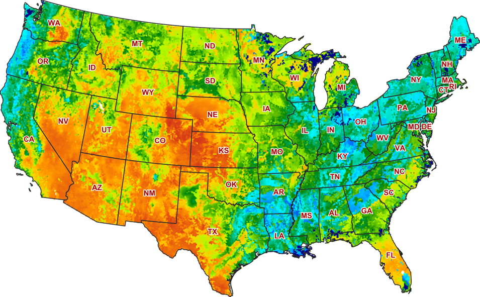
WLDAS was developed at NASA's Goddard Space Flight Center in Greenbelt, MD, with WWAO funding. The system provides Western U.S. water managers and stakeholders with a long-term record of near-surface hydrology for use in drought assessment and water resources planning. The system uses meteorological observations including precipitation, incoming shortwave and longwave radiation, near surface air temperature, humidity, wind speed, and surface pressure along with parameters such as vegetation class, soil texture, and elevation as inputs to a model that simulates land surface energy and water budget processes. Outputs of the model include soil moisture, snow depth and snow water equivalent, evapotranspiration, and soil temperature, as well as derived quantities such as groundwater recharge and anomalies of the state variables.

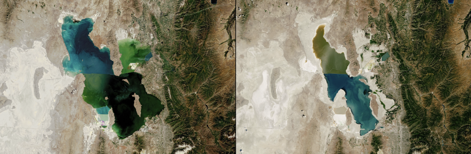
DSET is a WWAO project co-developed with the Navajo Nation Department of Water Resources. The cloud-based application improves drought reporting and management across the vast expanse of the Navajo Nation, which covers more than 70,000 km2 (27,000 square miles) in northern Arizona, southern Utah, and northern New Mexico. DSET drought reports combine satellite data (including GPM and Tropical Rainfall Measuring Mission [TRMM] data), modeled inputs, and in-situ data. DSET is a partnership of NASA-WWAO, the Navajo Nation Department of Water Resources, the Desert Research Institute, and Climate Engine.

Granger observes that the funding process used by WWAO increases her team's ability to respond rapidly to meeting identified hydrologic needs and working with water managers.

"We were tasked to innovate our program processes and one of the ways we do that is through our solicitation process," Granger says. "We publish a RFI [Request for Information] based on our Needs Assessments, and responses to the RFI are then reviewed for technical merit, relevance to WWAO, and these assessments. Funded projects run the gamut. They can be somewhat complex, but sometimes all that's needed is [support] to help get data into the right format such that it can be used in a model."

Looking Ahead to New Data and New Relationships

Along with SWOT, PACE, and NISAR, the WWAO team is looking forward to working with data from several upcoming Earth observation missions. Granger points to the GRACE-Continuity (GRACE-C), NASA's Surface Biology and Geology (SBG), and NASA's Atmosphere Observing System (AOS) missions as ones having potential application for the Western water community. "It's part of our mission to really understand what these new missions are and to articulate the benefit of new and upcoming missions to our community," she says. "Some of the groups and teams we work with are already early adopters of these missions."

In the end, Granger knows that the work of the WWAO boils down to relationships. Not just having the unrestricted Earth observation data and the tools for using these data, but also a seat at the discussion table to work with Western water decision makers to use these resources.

"Relationships are important. We meet [water managers] where they are and we work hard to develop and establish long-term relationships that are based on trust. And that opens some doors," Granger says. "These relationships are key and critical for WWAO and important for NASA, as well."

Last Updated