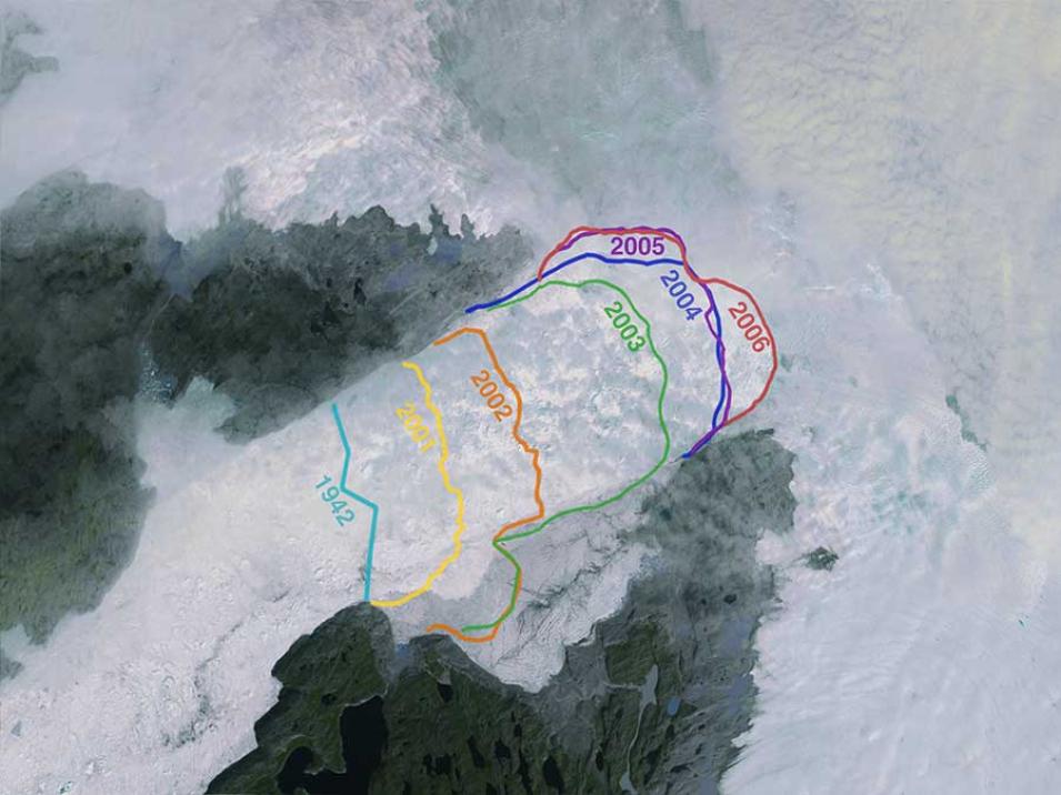
Greenland’s more than 200 major outlet glaciers are constantly on the move - many of them at some of the fastest speeds ever recorded. Thanks to the work of the Greenland Ice Mapping Project (GIMP), scientists and glaciologists have a wealth of data dating back to 2000 to help analyze the movement of these outlet glaciers and the potential consequences of these movements.
“We have found lots of things looking through the data,” says Ian Joughin, Principal Investigator for the Greenland Ice Mapping Project and Senior Principal Engineer at the Applied Physics Laboratory at the University of Washington. “For example, we recently published data about Jakobshavn Glacier in Greenland hitting the fastest glacier speeds ever recorded. We’re producing a time series of velocities of all the major outlet glaciers in Greenland. We’ve shown that there is a huge variability in the flow in Greenland. There are numerous investigators downloading these data to try to figure out what’s going on.”
The Greenland Ice Mapping Project is part of NASA’s Making Earth System Data Records for Use in Research Environments, or Making Earth System Data Records for Use in Research Environments (MEaSUREs) Program. MEaSUREs projects produce coherent, consistent data records that are archived and distributed by EOSDIS Distributed Active Archive Centers (DAACs). Data from the Greenland Ice Mapping Project is archived and distributed through the National Snow and Ice Data Center Distributed Active Archive Center (NSIDC DAAC). “MEaSUREs is not a science analysis program, but more of a data production program,” Joughin says. “The idea is to get the data to the user community so we can leverage the entire scientific community’s resources.”
