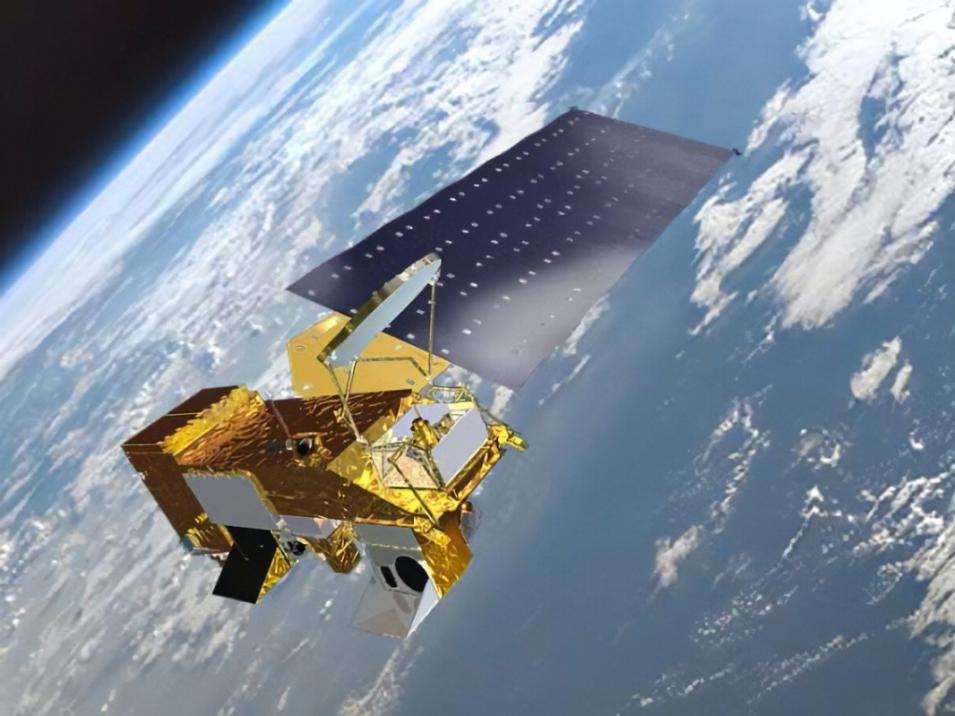
Although there’s no doubt the Aqua mission has informed our understanding of the Earth system and how it’s changing, how much longer it will keep providing data is unclear. Due to limited fuel reserves, Aqua completed all mission maneuvers related to maintaining a 1:30 p.m. equatorial crossing time and 705 kilometer orbit altitude in December 2021. Since then, it has begun drifting to later equatorial crossing times and, by February 2023, the satellite is expected to reach, and possibly exceed, an equatorial crossing time of 1:45.
Nevertheless, Aqua will continue to transmit extremely valuable data as its equatorial crossing time drifts. In fact, Parkinson said that “If funded, Aqua will likely be able to collect good quality science data until August of 2026.”
“We are optimistic that we will be able to collect science quality data for the next few years, despite the progressive drift of Aqua’s orbit to crossings at later afternoon times, until spacecraft hardware limitations (i.e., power and fuel) will force mission termination, circa mid-2026,” said Oreopoulos. “While the drift is disruptive to the consistency of the climate record of certain geophysical observables with considerable diurnal variation, many scientists have expressed excitement at the prospect of observations under different geometries and at different times of the day where some phenomena are more intense.”
Among those scientists is Joao Teixeira, who said Aqua’s departure from its traditional orbit will provide an opportunity for AIRS to collect valuable new data.
“The value of these observations by a hyperspectral sounder such as AIRS has never been explored and will present a unique opportunity to assess the impact on forecast quality of having infrared sounders at these local times,” Teixeira said. “Discussions are currently underway between the AIRS project and some key weather centers to prepare for these impact studies, which will be essential for the design of new infrared sounders to inform decisions related to sampling of the diurnal cycle.”
The same is true for the CERES science team, said Loeb.
“For CERES specifically and for future Earth radiation satellites, we certainly would like to place the instrument in a different mode than it’s currently in,” he said. “We haven’t had data from as full a range of solar zenith angles because we’ve been fixed in mean local time. Having the orbit drift allows us to extend our angular information to other solar Earth-viewing geometries.”
In addition, Loeb noted that, when compared to other satellites with a 1:30 p.m. equatorial crossing, Aqua’s drifting may provide some insight into how mean-local-time drifts can be corrected in long-term data records.
“There is a long record of satellite instruments that have flown for 40-plus years and they have had mean-local-time drifts too,” said Loeb. “It’s been a struggle for the community to try to come up with climate data records when the orbits drift. So, having Aqua drift and Suomi NPP and NOAA-20 in a fixed local time provides a way of better understanding how these mean-local-time drifts can be corrected, and this information can then be used to improve the long, 40-plus year records.”
Yet, regardless of when the instruments aboard Aqua stop collecting data, the legacy of the spacecraft will continue to live on both within NASA and in the larger Earth observation community.
For example, the conjoined measurement strategies of the A-Train constellation are, according to Oreopoulos, leaving a lasting influence on the design of future missions such as the Atmospheric Observing System of the Earth System Observatory.
“Aqua has been for many years the cornerstone of the A-Train, which also included the CloudSat and Cloud-Aerosol LIDAR and Infrared Pathfinder Satellite Observation (CALIPSO) satellites, and in later years, GCOM-W, among others. The simultaneous views of cloud, precipitation, and aerosol fields with instruments aboard these satellites of different capabilities and sensitivities enabled us to obtain more holistic perspectives of their structures and interactions,” he said. “It also allowed us to cross-validate their measurements, better understand their limitations, and the degree to which consistency in the retrieved properties of these fields can be achieved.”
Aqua’s legacy will live on in the annals of weather prediction as well.
“Over the past 20 years, every decision that anyone on the planet made based on weather prediction has a little bit of AIRS in it,” said Teixeira. “Most NASA missions produce data, but it’s not out there immediately. It takes a while. MODIS and AIRS data are out there immediately. This was a requirement from the weather prediction community. If the data couldn’t be available quickly then they couldn’t be used for weather prediction.”
Ultimately, though, Aqua’s legacy will be evident in the myriad data products that members of the remote sensing communities will continue to use in their research on Earth’s atmosphere, cryosphere, lands, and oceans long after 2026.
“In contrast to some missions, where there’s a single or central goal, the Aqua mission collects data on all sorts of different variables, and so it has provided a wide range of datasets that can be used by a large number of scientists and others,” said Parkinson. “More than 20,000 scientific papers have incorporated Aqua data, and the data have been used in weather forecasting and numerous other practical applications, making Aqua a mission of significance for both the global remote-sensing science community and society in general.”
