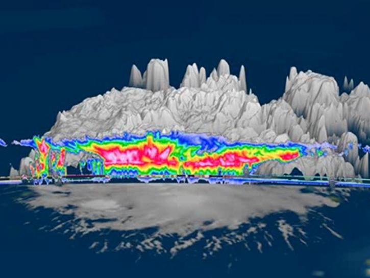
Description
The GPM Ground Validation Cloud Radar System (CRS) IPHEx data were collected in support of the Global Precipitation Measurement (GPM) mission Integrated Precipitation and Hydrology Experiment (IPHEx) in North Carolina, with an intense study period occurring from May 1, 2014 through June 15, 2014. The goal of IPHEx was to evaluate the accuracy of satellite precipitation measurements and use the collected data for hydrology models in the region. The ER-2 aircraft flew during the IPHEx field campaign to aid in GPM validation. The science instruments, including the CRS, onboard the aircraft acted as a proxy for GPM satellite instruments. The CRS provided high-resolution profiles of reflectivity and Doppler velocity in clouds at aircraft nadir along the flight track. The CRS data are available from May 3, 2014 through June 12, 2014 and files for this dataset are available in netCDF-3 format.
Product Summary
Citation
Citation is critically important for dataset documentation and discovery. This dataset is openly shared, without restriction, in accordance with the EOSDIS Data Use and Citation Guidance.
Copy Citation
Additional Citation
Documents
| Title Not Provided | IPHEx Field Campaign Collection DOI | |
| Title Not Provided | NASA Armstrong Fact Sheet: ER-2 High-Altitude Airborne Science Aircraft | |
| PUBLICATIONS | Measurements of Ocean Surface Backscattering Using an Airborne 94-GHz Cloud Radar—Implication for Calibration of Airborne and Spaceborne W-Band Radars | |
| PUBLICATIONS | Combined lidar-radar remote sensing: Initial results from CRYSTAL-FACE | |
| PUBLICATIONS | Cirrus cloud optical, microphysical, and radiative properties observed during the CRYSTAL-FACE experiment: A lidar-radar retrieval system |
