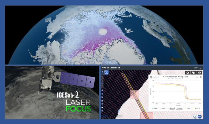
NASA’s OpenAltimetry is a free and powerful map-based data visualization and discovery tool for exploring surface elevation profiles from the Ice, Cloud, and land Elevation Satellite-2 (ICESat-2) and ICESat platform mission altimetry data. With OpenAltimetry, users can explore how different types of surface heights have changed across Earth over time.
Please note that OpenAltimetry processes data directly in the NASA Earthdata Cloud.


