Preparing for ICESat-2 data was challenging given the large volume of data expected from the mission. While the volume of data from Operation IceBridge is about 30 terabytes (TB) per year, ICESat-2 is producing just under 1 TB of data per day. Also, ICESat-2 file sizes are very large. “Typically, projects try to limit file sizes to two gigabytes (GB) or less for a given file,” explains Tanner. “Some of the ICESat-2 files were coming in at closer to 10 GB. We needed to make sure our computing systems were robust enough for this volume of data.”
In addition, algorithms had to be developed to process ICESat-2 data. While the GLAS instrument aboard the first ICESat spacecraft looked at the intensity of a returned laser signal and detected groups of returning photons at one time, ICESat-2’s ATLAS instrument detects individual photons. Along with detecting individual photons returned from a laser pulse, the instrument also senses photons from natural sunlight. Algorithms had to be developed to isolate the ATLAS photons to determine the actual elevation of Earth’s surface. Developing these algorithms in advance of the ICESat-2 launch was accomplished using an airborne testbed instrument called the Multiple Altimeter Beam Experimental Lidar (MABEL).
By using MABEL early in the process, ICESat-2 subsetting, reformatting, and reprojection services could be developed at the same time—well before launch. “What this means is that as the science team is tweaking these data products to get them ready for public use, the data services are also being tweaked at the same time,” says Tanner. “It’s just a matter of verifying that the data services can still support the changes from the science team.”
The journey of ICESat-2 data from the ATLAS instrument to the NSIDC DAAC begins as raw, unprocessed data are relayed to a NASA ground station. From there, they are sent to NASA’s Earth Observing System (EOS) Data and Operations System (EDOS) located at NASA’s Goddard Space Flight Center in Greenbelt, Maryland, where they are turned into Level 0 data. Level 0 data are still unprocessed, however communications artifacts, such as synchronization frames, communications headers, and duplicate data, have been removed. These Level 0 data are then sent to the NSIDC DAAC as a back-up and to the ICESat-2 Science Investigator-led Processing System (SIPS) for processing into Level 1, 2, and 3 data products. These SIPS-produced higher-level products are sent to the NSIDC DAAC for archiving and distribution. “We’ve been practicing with the SIPS for several years now making sure that everything is ready for the public release of these data,” Tanner says.
ICESat-2 data can be accessed in several ways. The easiest is through the EOSDIS Earthdata Search application, though there are other means as well. For example, the NSIDC DAAC provides application programming interface (API) access to ICESat-2 data and services, where data users can set up programmatic access or set up a script to constantly get ICESat-2 data for a specific region. Both of these options also offer data services such as subsetting, reformatting, and reprojection, making the data easier to use and reducing the amount of network traffic generated. The ICESat-2 team has put a great deal of energy into making sure these data services meet end-user needs and that they are fully integrated into Earthdata Search and the API access.
Another resource for accessing and working with ICESat-2 data is a project called OpenAltimetry. OpenAltimetry is a cyberinfrastructure platform for ICESat and ICESat-2 data discovery, access, and visualization that is funded through a grant as part of NASA’s Advancing Collaborative Connections for Earth System Science (ACCESS) Program. “You can go to OpenAltimetry to quickly visualize the data to decide if these are files you want to have,” explains Tanner, noting that OpenAltimetry is still in development. “It goes beyond subsetting by letting you look at the data without having to download the data. We’re making OpenAltimetry available to the public to assess the value of it and to decide if we should put it into full production.”
Now that ICESat-2 data are finally getting into the hands of the global user community things are about to become very interesting. As Tanner notes, the ICESat-2 science team is a small community primarily focused on the cryosphere; new applications for ATLAS data continue to be discovered far beyond the mission’s primary objective. “It’s turning out that ICESat-2 is truly a global satellite that can be used to study all sorts of non-cryospheric things,” he observes. “We can look at rain forests, we can look at deserts, we can look at oceans. We want these data to get out there and for people to use these data in ways we haven’t even imagined. To me this would be the coolest thing to come out of the mission.”
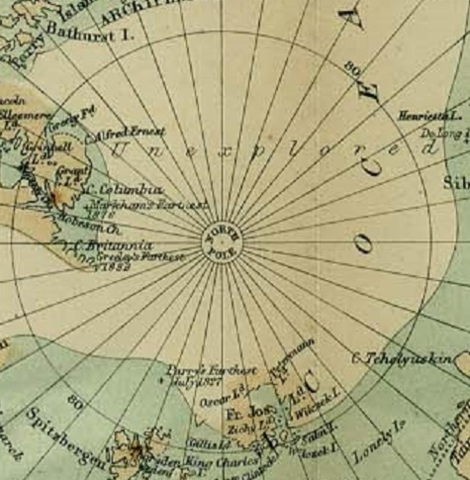
Unexplored. A word that now applies to the new voyage of discovery that is being ushered in with the release of ICESat-2 data and the many ways these data will be used.

