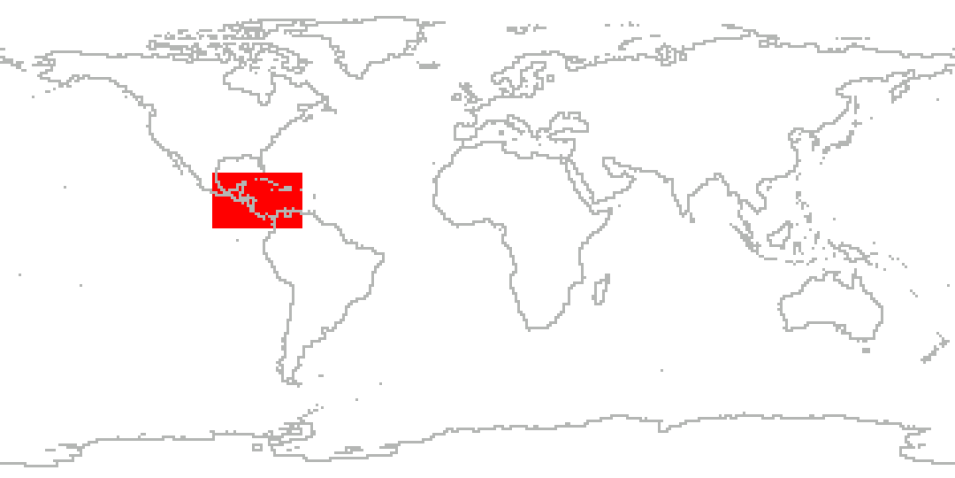
The Tropical Cloud Systems and Processes (TCSP) campaign was an Earth science field research investigation sponsored by NASA's Science Mission Directorate. The field phase was conducted during the period July 1-27, 2005, out of the Juan Santamaria Airfield in San Jose, Costa Rica.
The TCSP campaign flew 12 NASA ER-2 science flights, including missions to Hurricanes Dennis and Emily, Tropical Storm Gert, and an eastern Pacific mesoscale complex that may possibly have further developed into Tropical Storm Eugene. The P-3 aircraft from the NOAA Hurricane Research Division (HRD) flew 18 coordinated missions with the NASA research aircraft to investigate developing tropical disturbances. Additionally, the Aerosonde uninhabited aerial vehicle flew 8 surveillance missions and the Instituto Meteorologico Nacionale (IMN) of Costa Rica launched RS-92 balloon sondes daily to gather humidity measurements and provide validation of the water vapor measurements.
Cite the Collection
To cite the entire collection, please use the following:
J. Halverson et al. 2007. TCSP Field Campaign Data Collection [indicate subset used]. Dataset available online [http://earthdata.nasa.gov/centers/ghrc-daac] from the NASA EOSDIS Global Hydrometeorology Resource Center Distributed Active Archive Center, Huntsville, Alabama, U.S.A. doi: http://dx.doi.org/10.5067/TCSP/DATA101
For more information on citing data archived by NASA's Global Hydrometeorology Resource Center Distributed Active Archive Center (GHRC DAAC), see NASA's data use policy.
General Characteristics
| Projects | Tropical Cloud Systems and Processes (TCSP) |
|---|---|
| Platforms | NASA ER-2, NOAA Hurricane Research Division (HRD) P-3, Aerosonde, GOES-11, GOES-12, ECMWFIFS, Mission Reports, Balloons, Radiosondes |
| Sensors/Instruments | AEROSONDE, CRS, GOES-11, TICOSONDE-AURA 2005, HAMSR, EDOP, MTP, LIP, AMPR, MAS, BAROMETERS, GPS, HYGROMETERS, PYROMETERS, THERMISTORS, GOES-11 IMAGER, GOES-12 IMAGER, Computer, GPS, HUMIDITY SENSORS, PRESSURE SENSORS, Radiosondes, TEMPERATURE SENSORS, INS, PRESSURE PROBE, TEMPERATURE PROBES |
| Parameters | Atmospheric Pressure, Atmospheric Temperature, Atmospheric Water Vapor, Atmospheric Winds, Ocean Temperature, Radar, Infrared Wavelengths, Visible Wavelengths, Platform Characteristics, Clouds, Microwave, Altitude, Atmospheric Electricity, Weather/Climate Advisories, Weather Events |
| Processing level | 0, 1A, 1B, 2 |
| Formats | Various: HDF-4, ASCII, JPG, GIF, MS Word, PDF, GRIB, McIDAS |
