| 2D-S (stereo) probe (2D-S) | Paul Lawson, Spec Inc. | Cloud particle sizing and imaging | Measures particle size distribution and black and white images. Derives extinction, particle concentration, ice water content and particle shape. |
| Dual-Frequency Airborne Precipitation Radar (APR-2) | Eastwood Im / Jet Propulsion Laboratory | 14/35-GHz dual-frequency Doppler radar | Measures:
• Simultaneous HH (co-pol) radar backscatter power profiles at 14 and 35 GHz
• Simultaneous HV (cross-pol) radar backscatter power profiles at 14 and 35 GHz
• Vertical Doppler frequency profiles at 14 and 35 GHz Derives:
• Simultaneous HH (co-pol) radar reflectivity at 14 and 35 GHz
• Simultaneous Linear Depolarization Ratio (LDR) at 14 and 35 GHz
• Vertical Doppler fall velocity at 14 and 35 GHz
• Rainfall rate
• Drop-size distribution parameters
• Surface backscattering coefficients |
| Cloud Particle Imager (CPI) | Paul Lawson, Spec Inc. | Cloud particle sizing and imaging | Measures particle size distribution and images with 256 gray levels. Derives extinction, particle concentration, ice water content and particle shape. |
| Cloud Aerosol and Precipitation Spectrometer (CAPS) | Andy Heymsfield, NCAR | Optical array imaging probe and scattering spectrometer | Measures particle size distributions 0.5um-6.2mm . Derives Ice water content, extinction, radar reflectivity, fall velocity . |
| Carbon mOnoxide By Attenuation of Laser Transmission (COBALT) | Jim Podolske - NASA Ames Research Center; Co-I's Glenn S. Diskin and Bruce E. Anderson, NASA Langley | in-situ laser absorption spectrometer | Measures carbon monoxide mixing ratio; Derives carbon monoxide mixing ratio profiles |
| Counterflow Virtual Impactor (CVI) | Cynthia Twohy, Oregon State University | In-situ Droplet Impactor | Measures cloud condensed water content (CWC), nuclei composition (by electron microscopy). |
| Diode Laser Hygrometer (DLH) | PI:Glenn Diskin - NASA Langley Research Center Co-I :Jim Podolske - NASA Ames Research Center | in-situ Diode Laser Absorption Spectrometer | Measures water vapor mixing ratio; Derives water vapor partial pressure, relative humidity, water vapor flux |
| High Altitude Monolithic Microwave Integrated Circuit Sounding Radiometer (HAMSR) | Bjorn Lambrigtsen, Jet Propulsion Laboratory | Microwave radiometer | Measures brightness temperatures in 25 spectral channels & 3 spectral bands. Derives temperature, water vapor & liquid water vertical profiles; precipitation; convective intensity . |
| Langley Aerosol Research Group Experiment (LARGE) | Bruce E. Anderson, NASA Langley Research Center; Co-I's: Glenn S. Diskin - NASA Langley and Jim Podolske - NASA Ames Research Center | In situ aerosol sensors including condensation nuclei counters, optical particle spectrometers, an aerodynamic particle sizer, multi-wavelength particle-soot absorption photometers, and integrating nephelometers | Measures: Ultrafine aerosol number density, total and non-volatile aerosol number density, dry aerosol size distribution from 0.01 to 10 mm, total and submicron aerosol absorption coefficients at 470, 535, and 670 nm, total and submicron aerosol scattering coefficients at 550 nm, and total scattering and hemispheric backscattering coefficients at 400, 550 and 700 nm. Derives Aerosol size statistics (mode, number and mass mean diameters, etc.), aerosol surface area and mass loading, aerosol extinction, single scattering albedo, and angstrom coefficients. |
| Lidar Atmospheric Sensing Experiment (LASE) | Edward V. Browell (PI), Syed Ismail (Co-PI) NASA Langley | Lidar | Measures water vapor mixing ratio and aerosol scattering ratio (815 nm) profiles. Derives relative humidity, equivalent potential temperature, virtual potential temperature, precipitable water vapor profiles; also aerosol backscatter, aerosol extinction, aerosol optical thickness profiles (815 nm) |
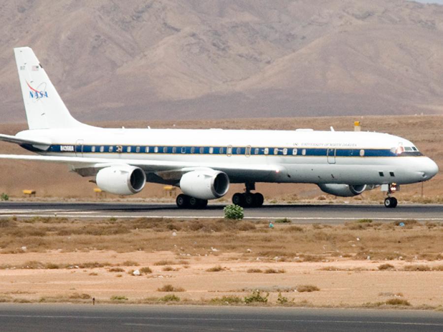
| Meteorological Measurement System (MMS) | T. Paul Bui, NASA Ames Research Center | In situ DC-8 measurements | Measures aircraft position, velocities, acceleration, and attitudes; air flow with respect to aircraft (angle-of-attack, angle-of-sideslip), total temperature, fuselage pressure, total pressure. Derives atmospheric state variables (static pressure, static temperature, 3-dimensional wind field). |
| Real Time Mission Monitor (RTMM) | Rich Blakeslee | real time data acquisition, visualization, and situational awareness | The NAMMA RTMM integrates satellite and radar imagery, model output data, lightning location observations, aircraft (including balloon) navigation data, overlays (e.g., dropsonde analyses), and other data sets. A key addition and advance during NAMMA will be to provide, for the first time, a local RTMM capability on the DC-8 aircraft itself during the flights, enabling on-board scientists and aircraft operators to have access to imagery and data sets unavailable in prior campaigns. |
| Research Environment for Vehicle-Embedded Analysis on Linux (REVEAL) | Lawrence C. Freudinger | onboard data acquisition, processing, recording systems and communications | In-Field Quick Look Products: Quick looks at vehicle sate, fuel temperature monitoring, various environmental parameters.
Direct Products: vehicle data bus interfaces, vehicle time-space-position information, sun angle calculations, and custom real-time and post-flight data products. Provides real-time data feeds to LIP displays and TCSP Team. |