The Global Precipitation Measurement Mission Ground Validation (GPM GV) program used a variety of methods for validation of GPM satellite constellation measurements prior to and after launch of the GPM Core Satellite, which launched on February 27, 2014. The instrument validation effort included numerous GPM-specific and joint agency/ international external field campaigns, using state of the art cloud and precipitation observational infrastructure (polarimetric radars, profilers, rain gauges, and disdrometers). These field campaigns accounted for the majority of the effort and resources expended by GPM GV.
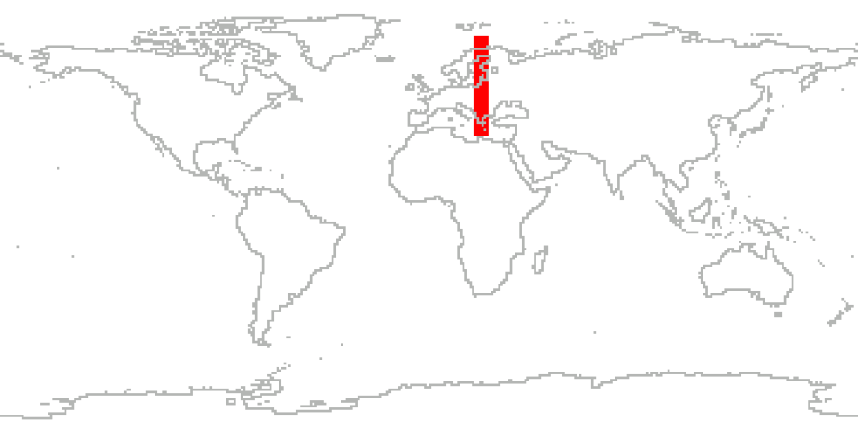
The Light Precipitation Evaluation Experiment (LPVEx) took place in September and October 2010 in the Gulf of Finland to characterize the ability of CloudSat, the Global Precipitation Mission (GPM) Dual-frequency Precipitation Radar (DPR), and existing/planned passive microwave (PMW) sensors such as the GPM microwave imager (GMI) to detect light rain and evaluate their estimates of rainfall intensity in high latitude, shallow freezing level environments. The experiment leveraged in situ microphysical property measurements, coordinated remote sensing observations, and cloud resolving model simulations of high latitude precipitation systems to conduct a comprehensive evaluation of precipitation algorithms for current and future satellite platforms.
The campaign will use these measurements to better understand the process of light rainfall formation at high latitudes and augment the currently limited database of light rainfall microphysical properties that form the critical assumptions at the root of satellite retrieval algorithm.The Pluvio data files provide 1 minute measurements of rainfall, total rainfall for a continuous period of precipitation, and total liquid water equivalent measured from snowfall observations.
Cite the Collection
To cite the entire collection, please use the following:
Petersen, W., T. L’Ecuyer, D. Moiseev. 2018. GPM Ground Validation LPVEx Field Campaign Data Collection [indicate subset used]. Data set available online [http://earthdata.nasa.gov/centers/ghrc-daac] from the NASA EOSDIS Global Hydrometeorology Resource Center Distributed Active Archive Center Huntsville, Alabama, U.S.A. doi:10.5067/GPMGV/LPVEX/DATA101.
For more information on citing data archived by NASA's Global Hydrometeorology Resource Center Distributed Active Archive Center (GHRC DAAC), see NASA's data use policy.
General Characteristics
| Collections | GPM Ground Validation Products | |
|---|---|---|
| Projects | NASA GPM Ground Validation / LPVEx | |
| Platforms | ground stations, UWKA, DMSP 5D-3/F16, DMSP 5D-3/F17, DMSP 5D-3/F18, GPM | |
| Sensors/Instruments | Rain gauges, temperature sensors, CPI probes, PMS, 2D-S, WCR, SSMIS, DPR, GMI, CDP, FSSP, GPS, LICOR Gas Exchange System, Nevzorov probe, 2D-C, 2D-P, rosemount probes, APU, disdrometers, 2DVD | |
| Parameters | precipitation, Atmospheric Pressure, Atmospheric Water Vapor, Clouds, Microwave, radar reflectivity, atmospheric temperature | |
| Processing level | 4> | |
| Formats | ASCII, netCDF-3, XTDR, Binary | |
